Katar
Kātar | |
|---|---|
Village | |
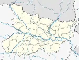 Katar Location in Bihar, India  Katar Katar (India) | |
| Coordinates: 25°16′02″N 84°21′16″E / 25.26714°N 84.35431°E[1] | |
| Country | India |
| State | Bihar |
| District | Bhojpur |
| Area | |
| • Total | 5.94 km2 (2.29 sq mi) |
| Elevation | 89 m (292 ft) |
| Population (2011) | |
| • Total | 13,484[2] |
| Languages | |
| • Official | Bhojpuri, Hindi |
| Time zone | UTC+5:30 (IST) |
Katar is a large village in Piro block of Bhojpur district, Bihar, India. It is located south of Piro, near NH 30. As of 2011, its population was 13,484, in 1,970 households.[2]
References
- 1 2 "Geonames.org. Kātar". Retrieved 3 February 2021.
- 1 2 3 "Census of India 2011: Bihar District Census Handbook - Bhojpur, Part A (Village and Town Directory)". Census 2011 India. pp. 516–63. Retrieved 3 February 2021.
This article is issued from Wikipedia. The text is licensed under Creative Commons - Attribution - Sharealike. Additional terms may apply for the media files.