Katerynivka
Катеринівка | |
|---|---|
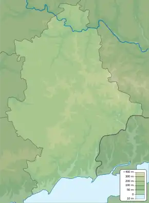 Katerynivka Location of Katerynivka in Donetsk Oblast 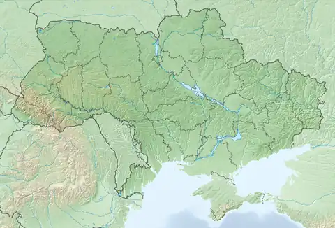 Katerynivka Katerynivka (Ukraine) | |
| Coordinates: 49°10′55″N 37°51′54″E / 49.181944°N 37.865°E | |
| Country | |
| Oblast | |
| Raion | Kramatorsk Raion |
| Area | |
| • Total | 0.4 km2 (0.2 sq mi) |
| Elevation | 139 m (456 ft) |
| Population | |
| • Total | 77 |
| • Density | 190/km2 (500/sq mi) |
| Time zone | UTC+2 (EET) |
| • Summer (DST) | UTC+3 (EEST) |
| Postal code | 75014 |
| Area code | +380 5547 |
Katerynivka (Ukrainian: Катеринівка; Russian: Катериновка) is a village in Kramatorsk Raion (district) in Donetsk Oblast of eastern Ukraine, at about 130.2 kilometres (80.9 mi) north by east of the centre of Donetsk city. It belongs to Lyman urban hromada, one of the hromadas of Ukraine.
The village came under attack by Russian forces in 2022, during the Russian invasion of Ukraine, and was regained by Ukrainian forces by the end of September the same year.[2]
References
- ↑ "Офіційна сторінка Всеукраїнського перепису населення | Банк даних" [All-Ukrainian population census | Database]. ukrcensus.gov.ua (in Ukrainian). Retrieved 15 October 2022.
- ↑ "Російські воєнкори повідомляють, що ЗСУ звільнили ще одне село на Донеччині". glavcom.ua (in Ukrainian). 27 September 2022. Retrieved 27 September 2022.
This article is issued from Wikipedia. The text is licensed under Creative Commons - Attribution - Sharealike. Additional terms may apply for the media files.