Khamauli is a village in the Azamgarh district of Uttar Pradesh, India.[1]
Khamauli | |
|---|---|
Village | |
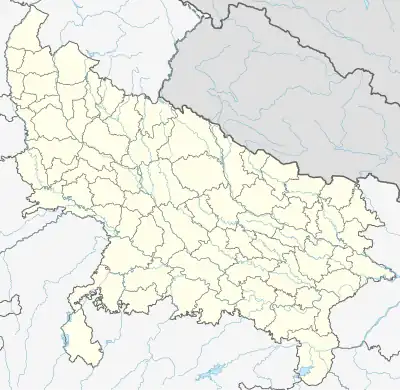 Khamauli Location in Uttar Pradesh, India  Khamauli Khamauli (India) | |
| Coordinates: 25°53′21″N 82°52′30″E / 25.88917°N 82.87500°E | |
| Country | |
| State | Uttar Pradesh |
| Division | Lalganj |
| Government | |
| • Type | Democracy |
| Area | |
| • Total | 1,993 km2 (770 sq mi) |
| Population (2011) | |
| • Total | 3,053 |
| • Density | 1.5/km2 (4.0/sq mi) |
| Languages | |
| • Official | Hindi |
| Time zone | UTC+5:30 (IST) |
| ISO 3166 code | IN-UP-KN |
| Literacy | 62.3% |
| Website | www |
References
- ↑ https://web.archive.org/web/20090513072659/http://www.hindustandainik.com/news/5922_2117188%2C0015002500000000.htm. Archived from the original on 13 May 2009. Retrieved 20 May 2015.
{{cite web}}: Missing or empty|title=(help)
This article is issued from Wikipedia. The text is licensed under Creative Commons - Attribution - Sharealike. Additional terms may apply for the media files.