Khoy Airport فرودگاه خوی | |||||||||||
|---|---|---|---|---|---|---|---|---|---|---|---|
| Summary | |||||||||||
| Airport type | Public | ||||||||||
| Owner | Government of Iran | ||||||||||
| Operator | Iran Airports Company | ||||||||||
| Location | Khoy, Iran | ||||||||||
| Elevation AMSL | 3,981 ft / 1,213 m | ||||||||||
| Coordinates | 38°25′38.83″N 044°58′24.87″E / 38.4274528°N 44.9735750°E | ||||||||||
| Map | |||||||||||
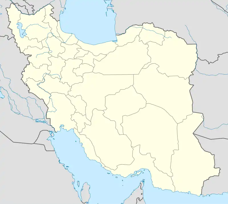 KHY Location of airport in Iran | |||||||||||
| Runways | |||||||||||
| |||||||||||
Source: World Aero Data[1] | |||||||||||
Khoy Airport (IATA: KHY, ICAO: OITK) is an airport that serves Khoy, Iran. Located in the north-western part of Iran, Khoy airport is a small airport with one runway measuring approximately 2800 meters in length. The airport terminal is around a 20 minute drive from the city of Khoy.
Airlines and destinations
| Airlines | Destinations |
|---|---|
| Iran Air | Tehran–Mehrabad |
References
- ↑ Article title[usurped]
External links
![]() Media related to Khoy Airport at Wikimedia Commons
Media related to Khoy Airport at Wikimedia Commons
This article is issued from Wikipedia. The text is licensed under Creative Commons - Attribution - Sharealike. Additional terms may apply for the media files.