Kirangur | |
|---|---|
Village | |
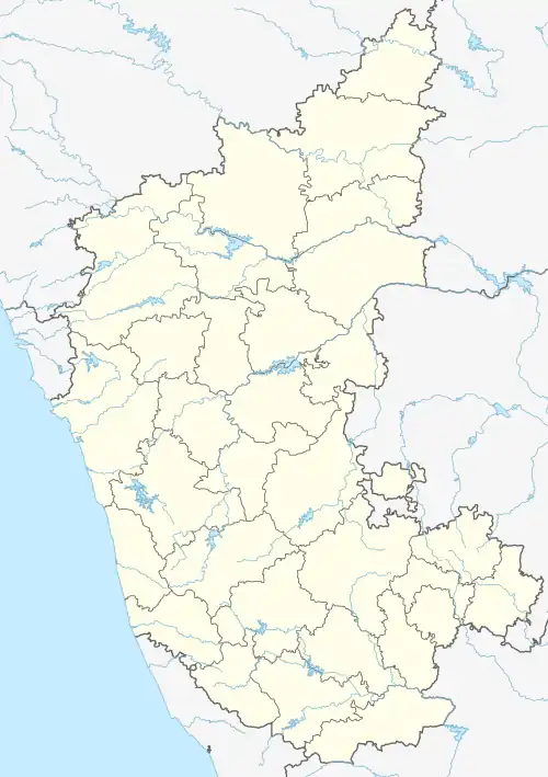 Kirangur Location in Karnataka, India | |
| Coordinates: 12°25′56″N 76°41′58″E / 12.43222°N 76.69944°E | |
| Country | |
| State | Karnataka |
| District | Mandya |
| Talukas | Srirangapatna |
| Government | |
| • Body | Grama Panchayath |
| Area | |
| • Total | 9.64 km2 (3.72 sq mi) |
| Elevation | 693 m (2,274 ft) |
| Population (2011) | |
| • Total | 7,653 [1] |
| Languages | |
| • Official | Kannada |
| Time zone | UTC+5:30 (IST) |
| PIN | 571807 |
| Vehicle registration | KA-11 |
Kirangur is a village in the southern state of Karnataka, India.[2][3] It is located in the Srirangapatna taluk of Mandya district in Karnataka.
Demographics
As of 2001 India census, Kirangur had a population of 7087 with 3549 males and 3538 females.[2]
See also
References
- ↑ "Census Data Handbook 2011" (PDF). Retrieved 1 November 2023.
- 1 2 Village code= 614221 "Census of India : Villages with population 5000 & above". Registrar General & Census Commissioner, India. Retrieved 18 December 2008.
- ↑ "Yahoomaps India :". Archived from the original on 18 December 2008. Retrieved 18 December 2008. Kirangur, Mandya, Karnataka
External links
District HQ: Mandya | |
|
This article is issued from Wikipedia. The text is licensed under Creative Commons - Attribution - Sharealike. Additional terms may apply for the media files.