Klondike, Pennsylvania | |
|---|---|
Unincorporated community | |
 Klondike | |
| Coordinates: 41°51′37″N 78°48′1″W / 41.86028°N 78.80028°W | |
| Country | United States |
| State | Pennsylvania |
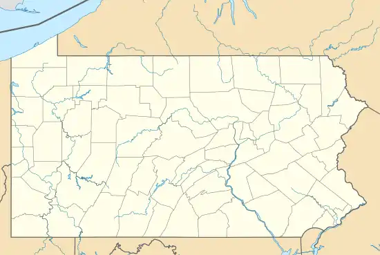
| County | McKean |
| Township | Corydon |
| Elevation | 2,100 ft (600 m) |
| Time zone | UTC-5 (Eastern (EST)) |
| • Summer (DST) | UTC-4 (EDT) |
| Area code | 814 |
| GNIS feature ID | 1209737[1] |
Klondike is an unincorporated community in Corydon Township in McKean County, Pennsylvania, United States. Klondike is located along Pennsylvania Route 59/Pennsylvania Route 321 east of the Allegheny Reservoir.[2]
References
- ↑ "Klondike". Geographic Names Information System. United States Geological Survey, United States Department of the Interior.
- ↑ McKean County, Pennsylvania Highway Map (PDF) (Map). PennDOT. 2014. Retrieved September 28, 2015.
Municipalities and communities of McKean County, Pennsylvania, United States | ||
|---|---|---|
| City | 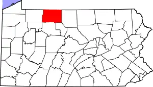 | |
| Boroughs | ||
| Townships | ||
| CDPs | ||
| Unincorporated communities | ||
This article is issued from Wikipedia. The text is licensed under Creative Commons - Attribution - Sharealike. Additional terms may apply for the media files.