Koida
Koida | |
|---|---|
Town | |
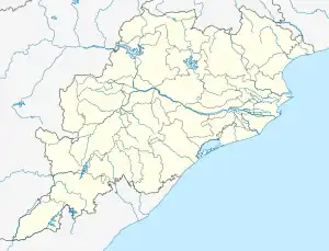 Koida Location in Orissa, India | |
| Coordinates: 21°55′0″N 85°14′0″E / 21.91667°N 85.23333°E | |
| Country (India) | |
| State | Odisha |
| District | Sundargarh |
| Government | |
| • Type | Municipal Authorities |
| • Body | Juel Oram (Central Minister) |
| Elevation | 590 m (1,940 ft) |
| Population (2011) | |
| • Total | 5,000 (as 2,011) |
| Languages | |
| • Official | Odia |
| Time zone | UTC+5:30 (IST) |
| PIN | 770048 |
| Vehicle registration | OD 14 |
| Nearest city | Barbil, Rourkela |
| Website | odisha |
Koira is a Town, Block and tahsil in Sundargarh District, Odisha, India.
Geography
It is located at 21°55′0″N 85°14′0″E / 21.91667°N 85.23333°E at an elevation of 590 m (1,940 ft) above mean sea level.[1]
Koira has abundant deposits of iron ore and manganese ore and many mines operate in the area.[2]
The majority of the population in the town are settled migrants from Khordha, Cuttack, Jajpur, Bhadrak, Uttar Pradesh, Bihar and West Bengal. Dust from the various mining activities is a problem in the town, but precautions have been taken by mining corporations and local authorities to reduce and eradicate the dust.
References
- ↑ http://www.maplandia.com/india/orissa/sundargarh/koira/ Map and weather of Koira
- ↑ http://www.jstage.jst.go.jp/article/minerj/15/3/15_105/_article Ferromanganese Ore mines in Koira
External links
This article is issued from Wikipedia. The text is licensed under Creative Commons - Attribution - Sharealike. Additional terms may apply for the media files.