Kola | |
|---|---|
Village | |
 Kola | |
| Coordinates: 43°37′50″N 18°50′24″E / 43.63056°N 18.84000°E | |
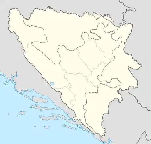
| Country | |
| Entity | Federation of Bosnia and Herzegovina |
| Canton | |
| Municipality | Goražde |
| Area | |
| • Total | 0.21 sq mi (0.55 km2) |
| Population (2013) | |
| • Total | 14 |
| • Density | 66/sq mi (25/km2) |
| Time zone | UTC+1 (CET) |
| • Summer (DST) | UTC+2 (CEST) |
Kola is a village in the municipality of Goražde, Bosnia and Herzegovina.[1]
Demographics
According to the 2013 census, its population was 14, all Bosniaks.[2]
References
- ↑ Official results from the book: Ethnic composition of Bosnia-Herzegovina population, by municipalities and settlements, 1991. census, Zavod za statistiku Bosne i Hercegovine - Bilten no.234, Sarajevo 1991.
- ↑ "Naseljena Mjesta 1991/2013" (in Bosnian). Statistical Office of Bosnia and Herzegovina. Retrieved March 20, 2022.
This article is issued from Wikipedia. The text is licensed under Creative Commons - Attribution - Sharealike. Additional terms may apply for the media files.