Konekan
ကုန်းကန် | |
|---|---|
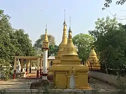 Konekan Monastery | |
 Konekan | |
| Coordinates: 21°05′00″N 95°52′29″E / 21.08346°N 95.874832°E | |
| Country | |
| Region | Mandalay Region |
| District | Meiktila District |
| Township | Wundwin Township |
| Village | Konekan |
| Time zone | UTC+6:30 (MMT) |
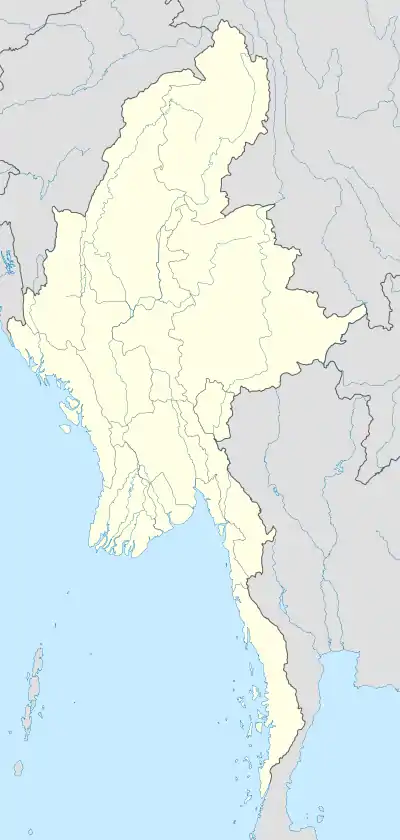
Konekan is a village in the Wundwin Township, Mandalay Region of central Myanmar. [1]
References
- ↑ Wundwin Township Map Archived 2019-07-17 at the Wayback Machine - Myanmar Information Management Unit
Capital: Mandalay | ||
| Kyaukse District |  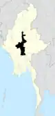 | |
| Mandalay District | ||
| Meiktila District | ||
| Myingyan District | ||
| Nyaung-U District | ||
| Pyinoolwin District | ||
| Yamethin District | ||
| Main cities and towns | ||
This article is issued from Wikipedia. The text is licensed under Creative Commons - Attribution - Sharealike. Additional terms may apply for the media files.