Krivá | |
|---|---|
Village | |
 A view of Krivá | |
 Coat of arms | |
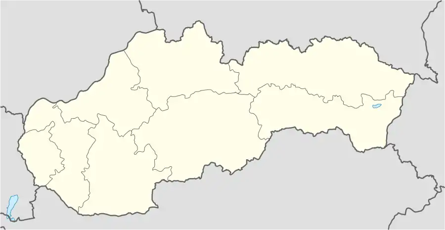 Krivá Location of Krivá in Slovakia | |
| Coordinates: 49°16′59″N 19°28′43″E / 49.28306°N 19.47861°E | |
| Country | Slovakia |
| Region | Žilina Region |
| District | Dolný Kubín District |
| First mentioned | 1575 |
| Area | |
| • Total | 18.87[1] km2 (7.29[1] sq mi) |
| Elevation | 550[2] m (1,800[2] ft) |
| Population (2021) | |
| • Total | 820[3] |
| Time zone | UTC+1 (CET) |
| • Summer (DST) | UTC+2 (CEST) |
| Postal code | 027 55[2] |
| Area code | +421 43[2] |
| Car plate | DK |
| Website | kriva.sk |
Krivá (Hungarian: Kriva) is a village and municipality in Dolný Kubín District in the Žilina Region of northern Slovakia.[4]
History
In historical records the village was first mentioned in 1575.
Geography
The municipality lies at an altitude of 545 metres and covers an area of 18.877 km². It has a population of about 819 people.[4]
Notable people
- Blahoslavená Zdenka Cecília Schelingová[5]
References
- 1 2 "Hustota obyvateľstva - obce [om7014rr_ukaz: Rozloha (Štvorcový meter)]". www.statistics.sk (in Slovak). Statistical Office of the Slovak Republic. 2022-03-31. Retrieved 2022-03-31.
- 1 2 3 4 "Základná charakteristika". www.statistics.sk (in Slovak). Statistical Office of the Slovak Republic. 2015-04-17. Retrieved 2022-03-31.
- ↑ "Počet obyvateľov podľa pohlavia - obce (ročne)". www.statistics.sk (in Slovak). Statistical Office of the Slovak Republic. 2022-03-31. Retrieved 2022-03-31.
- 1 2 "Db City.com retrieved Oct 6 2012". Archived from the original on 2013-11-03. Retrieved 2012-10-06.
- ↑ Vatican News Biography
External links
Wikimedia Commons has media related to Krivá.
Municipalities of Dolný Kubín District | ||
|---|---|---|
This article is issued from Wikipedia. The text is licensed under Creative Commons - Attribution - Sharealike. Additional terms may apply for the media files.