Kurgatovo
Кургатово | |
|---|---|
Village | |
 Kurgatovo 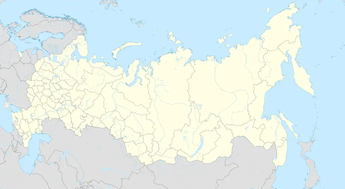 Kurgatovo | |
| Coordinates: 56°08′N 58°31′E / 56.133°N 58.517°E[1] | |
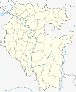
| Country | Russia |
| Region | Bashkortostan |
| District | Mechetlinsky District |
| Time zone | UTC+5:00 |
Kurgatovo (Russian: Кургатово; Bashkir: Ҡорғат, Qorğat) is a rural locality (a village) and the administrative centre of Kurgatovsky Selsoviet, Mechetlinsky District, Bashkortostan, Russia. The population was 278 as of 2010.[2] There are 4 streets.
Geography
Kurgatovo is located 30 km northeast of Bolsheustyikinskoye (the district's administrative centre) by road. Yulayevo is the nearest rural locality.[3]
References
- ↑ Карта Мечетлинского района Башкортостана
- ↑ "Всероссийская перепись населения 2010 года. Численность населения по населённым пунктам Республики Башкортостан" (PDF). Archived from the original (PDF) on 2019-05-17. Retrieved 2019-08-31.
- ↑ Расстояние от Кургатова до Большеустьикинского
This article is issued from Wikipedia. The text is licensed under Creative Commons - Attribution - Sharealike. Additional terms may apply for the media files.