Kyauktaga
ကျောက်တံခါး | |
|---|---|
Town | |
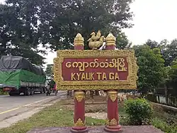 | |
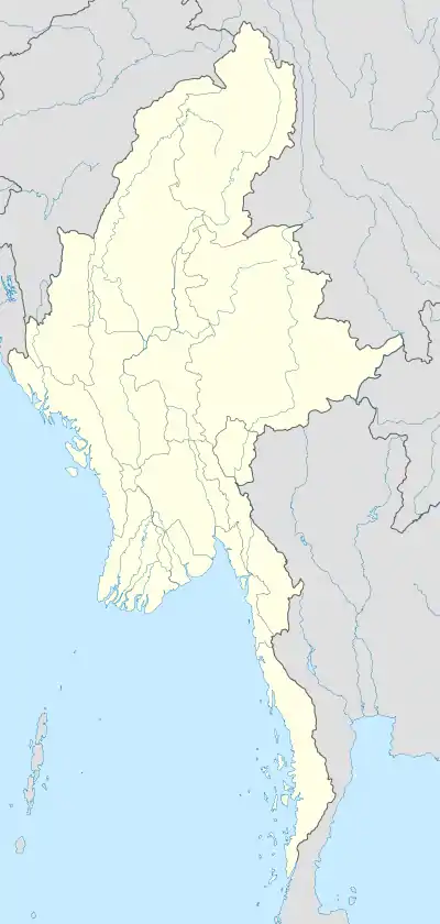 Kyauktaga Location in Burma | |
| Coordinates: 18°9′22″N 96°36′47″E / 18.15611°N 96.61306°E | |
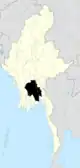
| Country | |
| Region | |
| District | Nyaunglebin |
| Township | Kyauktaga |
| Time zone | UTC+6.30 (MST) |
Kyauktaga (Burmese: ကျောက်တံခါး) is a town in Kyauktaga Township,[1][2] Nyaunglebin District,[3] Bago Region[4] in Burma (Myanmar). It is the administrative seat of Kyauktaga Township. The old Yangon-Mandalay highway passes through Kyauktaga Township. The Yangon-Mandalay railway also runs through Kyauktaga Township.
References
- ↑ "Kyauktaga Township Map".
- ↑ Township 31, "Myanmar States/Divisions & Townships Overview Map" Archived 2010-12-03 at the Wayback Machine Myanmar Information Management Unit (MIMU)
- ↑ "Expanding and preparing the names of districts in Bago Region". 30 April 2022.
- ↑ https://themimu.info/sites/themimu.info/files/documents/TspProfiles_Census_Kyauktaga_2014_ENG.pdf
External links
- Location of Kyauktaga "
Capital: Bago | ||||||||
| East Bago Region |
|   | ||||||
| West Bago Region |
| |||||||
| Main cities and towns | ||||||||
This article is issued from Wikipedia. The text is licensed under Creative Commons - Attribution - Sharealike. Additional terms may apply for the media files.