Kyparissi
Κυπαρίσσι | |
|---|---|
 Kyparissi | |
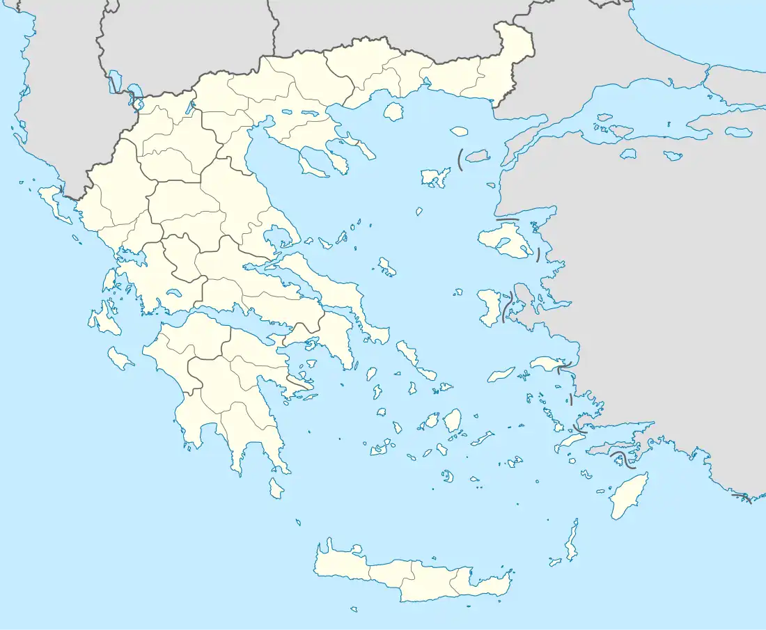
| Coordinates: 40°8.2′N 21°13.6′E / 40.1367°N 21.2267°E | |
| Country | Greece |
| Administrative region | West Macedonia |
| Regional unit | Grevena |
| Municipality | Grevena |
| Municipal unit | Agios Kosmas |
| Elevation | 940 m (3,080 ft) |
| Community | |
| • Population | 43 (2011) |
| • Area (km2) | 8.372 |
| Time zone | UTC+2 (EET) |
| • Summer (DST) | UTC+3 (EEST) |
| Postal code | 511 00 |
| Area code(s) | +30-2462-xxx-xxx |
| Vehicle registration | PNx-xxxx |
| Website | https://kyparissi.grevenagreece.gr/ |
Kyparissi (Greek: Κυπαρίσσι), before 1927 known as Bishovo (Μπίσοβο),[2] is a village and a community of the Grevena municipality.[1] Before the 2011 local government reform it was a part of the municipality of Kosmas o Aitolos, of which it was a municipal district.[3] The 2011 census recorded 43 residents in the village.[1] The community of Kyparissi covers an area of 8.372 km2.[4]
See also
References
- 1 2 3 "Απογραφή Πληθυσμού - Κατοικιών 2011. ΜΟΝΙΜΟΣ Πληθυσμός" (in Greek). Hellenic Statistical Authority.
- ↑ Μετονομασίες των Οικισμών της Ελλάδας. Μπίσοβο -- Δύσβατον
- ↑ "ΦΕΚ B 1292/2010, Kallikratis reform municipalities" (in Greek). Government Gazette.
- ↑ "Population & housing census 2001 (incl. area and average elevation)" (PDF) (in Greek). National Statistical Service of Greece. Archived from the original (PDF) on 2015-09-21.
This article is issued from Wikipedia. The text is licensed under Creative Commons - Attribution - Sharealike. Additional terms may apply for the media files.