Léglise
| |
|---|---|
 Léglise: the village and its small church | |
Location of Léglise | |
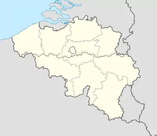 Léglise Location in Belgium
Location of Léglise in Luxembourg province  | |
| Coordinates: 49°48′N 05°32′E / 49.800°N 5.533°E | |
| Country | |
| Community | French Community |
| Region | Wallonia |
| Province | Luxembourg |
| Arrondissement | Neufchâteau |
| Government | |
| • Mayor | Francis Demasy |
| Area | |
| • Total | 173.72 km2 (67.07 sq mi) |
| Population (2018-01-01)[1] | |
| • Total | 5,366 |
| • Density | 31/km2 (80/sq mi) |
| Postal codes | 6860 |
| NIS code | 84033 |
| Area codes | 063 |
| Website | www.communeleglise.be |
Léglise (French pronunciation: [leɡliz]; Walloon: Leglijhe) is a municipality of Wallonia, located in the province of Luxembourg, Belgium.
Population
On 1 January 2007 the municipality, had 4,178 inhabitants, giving a population density of 24.2 inhabitants per km².
Area
The municipality covers 172.92 km².
Sub-Municipalities
The municipality consists of the following districts :
Assenois, Ébly, Léglise, Mellier, and Witry.
Other population centers include :
- Behême
- Bernimont
- Bombois
- Burnaimont
- Chêne
- Chevaudos
- Gennevaux
- Habaru
- Lavaux
- Les Fossés
- Louftémont
- Maisoncelle
- Narcimont
- Naleumont
- Nivelet
- Rancimont
- Thibessart
- Traimont
- Vaux-lez-Chêne
- Vlessart
- Volaiville
- Winville
- Witimont
See also
References
- ↑ "Wettelijke Bevolking per gemeente op 1 januari 2018". Statbel. Retrieved 9 March 2019.
External links
 Media related to Léglise at Wikimedia Commons
Places adjacent to Léglise | |
|---|---|
Municipalities of the province of Luxembourg, Wallonia | ||
|---|---|---|
| Arlon |  | |
| Bastogne | ||
| Marche-en-Famenne | ||
| Neufchâteau | ||
| Virton | ||
Bold indicates cities | ||
This article is issued from Wikipedia. The text is licensed under Creative Commons - Attribution - Sharealike. Additional terms may apply for the media files.