La Forêt-Sainte-Croix | |
|---|---|
 The church in La Forêt-Sainte-Croix, in 2013 | |
Location of La Forêt-Sainte-Croix | |
 La Forêt-Sainte-Croix 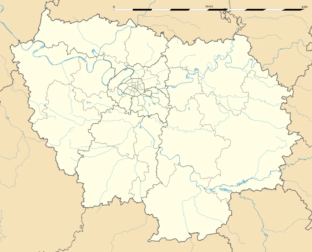 La Forêt-Sainte-Croix | |
| Coordinates: 48°22′58″N 2°13′45″E / 48.3829°N 2.2291°E | |
| Country | France |
| Region | Île-de-France |
| Department | Essonne |
| Arrondissement | Étampes |
| Canton | Étampes |
| Intercommunality | CA Étampois Sud Essonne |
| Government | |
| • Mayor (2020–2026) | Guy Crosnier[1] |
| Area 1 | 5.36 km2 (2.07 sq mi) |
| Population | 158 |
| • Density | 29/km2 (76/sq mi) |
| Time zone | UTC+01:00 (CET) |
| • Summer (DST) | UTC+02:00 (CEST) |
| INSEE/Postal code | 91248 /91150 |
| Elevation | 99–144 m (325–472 ft) |
| 1 French Land Register data, which excludes lakes, ponds, glaciers > 1 km2 (0.386 sq mi or 247 acres) and river estuaries. | |
La Forêt-Sainte-Croix (French pronunciation: [la fɔʁɛ sɛ̃t kʁwa] ⓘ) is a commune in the Essonne department in Île-de-France which is in northern France.
Inhabitants of La Forêt-Sainte-Croix are known as Sylvaniens.
See also
References
- ↑ "Répertoire national des élus: les maires" (in French). data.gouv.fr, Plateforme ouverte des données publiques françaises. 13 September 2022.
- ↑ "Populations légales 2021". The National Institute of Statistics and Economic Studies. 28 December 2023.
External links
Wikimedia Commons has media related to La Forêt-Sainte-Croix.
- Mayors of Essonne Association (in French)
This article is issued from Wikipedia. The text is licensed under Creative Commons - Attribution - Sharealike. Additional terms may apply for the media files.