La Habana Airport | |||||||||||
|---|---|---|---|---|---|---|---|---|---|---|---|
| Summary | |||||||||||
| Airport type | Public | ||||||||||
| Serves | La Habana, Bolivia | ||||||||||
| Elevation AMSL | 490 ft / 149 m | ||||||||||
| Coordinates | 14°15′45″S 64°52′20″W / 14.26250°S 64.87222°W | ||||||||||
| Map | |||||||||||
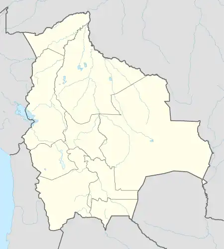 SLHB Location of the airport in Bolivia | |||||||||||
| Runways | |||||||||||
| |||||||||||
La Habana Airport (ICAO: SLHB) is an airport 8 kilometres (5 mi) northeast of San Pedro, a village in the Beni Department of Bolivia.
See also
References
- ↑ Airport information for La Habana Airport at Great Circle Mapper.
- ↑ Google Maps - La Habana
External links
- OpenStreetMap - La Habana Airport
- HERE/Nokia - La Habana
This article is issued from Wikipedia. The text is licensed under Creative Commons - Attribution - Sharealike. Additional terms may apply for the media files.