| La Villuerca | |
|---|---|
| Risco de la Villuerca | |
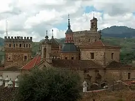 La Villuerca on the right above Santa María de Guadalupe monastery | |
| Highest point | |
| Elevation | 1,603 m (5,259 ft) |
| Coordinates | 39°28′6″N 5°24′5″W / 39.46833°N 5.40139°W |
| Geography | |
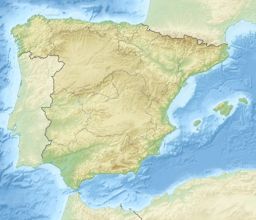 La Villuerca Spain | |
| Location | Las Villuercas comarca (Extremadura) |
| Parent range | Sierra de las Villuercas, Montes de Toledo |
| Geology | |
| Mountain type | Granite |
| Climbing | |
| First ascent | Unknown |
| Easiest route | Drive from Navezuelas or Guadalupe |
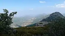
La Villuerca, also known as Risco de la Villuerca, Pico la Villuerca[1] and Pico de las Villuercas, is the highest peak of the Sierra de Villuercas mountain range in Spain, also known as Sierra de Guadalupe.
It is located 6 km west of Guadalupe town in Las Villuercas comarca, Cáceres Province, Extremadura, Spain and is the highest point of the greater Montes de Toledo system.[2]
Description
La Villuerca has an elevation of 1,603 metres above sea level and is a conspicuous mountain that can be seen from quite a distance in the surrounding landscape. This peak has an ancient name that has been documented since 1353 and it gives its name to Las Villuercas comarca.[3]
There is a narrow paved road leading to the mountaintop, where there are abandoned military installations of the former Base Centro Táctico, CT2, Guadalupe-Villuercas with tall antennas and a heliport.[4] The peak is often covered with snow in the winter.[5]