Lake Caroline, Virginia | |
|---|---|
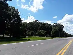 Entrance to the CDP off of U.S. Route 1 | |
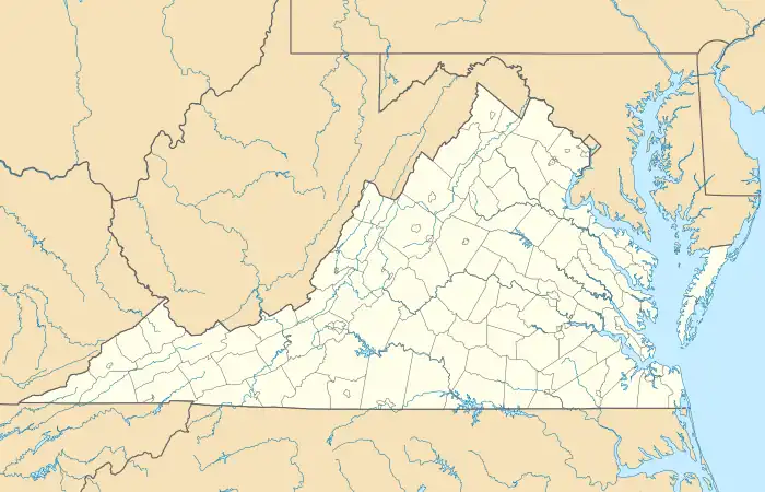 Lake Caroline Location within Virginia | |
| Coordinates: 37°59′16″N 77°31′15″W / 37.98778°N 77.52083°W | |
| Country | United States |
| State | Virginia |
| County | Caroline |
| Area | |
| • Total | 3.3 sq mi (8.5 km2) |
| • Land | 2.9 sq mi (7.4 km2) |
| • Water | 0.4 sq mi (1.1 km2) |
| Elevation | 230 ft (70 m) |
| Population (2010) | |
| • Total | 2,260 |
| • Density | 796/sq mi (307.5/km2) |
| Time zone | UTC−5 (Eastern (EST)) |
| • Summer (DST) | UTC−4 (EDT) |
| ZIP code | 22546 |
| FIPS code | 51-43359 |
| GNIS feature ID | 2630780 |
| Website | www |
Lake Caroline is a census-designated place in Caroline County, Virginia, United States. The population as of the 2010 Census was 2,260.[1]
It is a gated lakeside subdivision located about 2 miles (3 km) south of Ladysmith and 10 miles (16 km) north of Doswell. The CDP is bordered by U.S. Route 1 on the east, Cedar Fork Road on the south, and State Route 683 on the north.
References
- ↑ "Geographic Identifiers: 2010 Demographic Profile Data (G001): Lake Caroline CDP, Virginia". U.S. Census Bureau, American Factfinder. Retrieved August 23, 2015.
External links
Municipalities and communities of Caroline County, Virginia, United States | ||
|---|---|---|
| Towns | 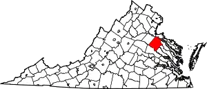 Map of Virginia highlighting Caroline County | |
| CDPs | ||
| Unincorporated communities |
| |
This article is issued from Wikipedia. The text is licensed under Creative Commons - Attribution - Sharealike. Additional terms may apply for the media files.