Larslan, Montana | |
|---|---|
 Larslan, Montana  Larslan, Montana | |
| Coordinates: 48°34′42″N 106°11′38″W / 48.57833°N 106.19389°W | |
| Country | United States |
| State | Montana |
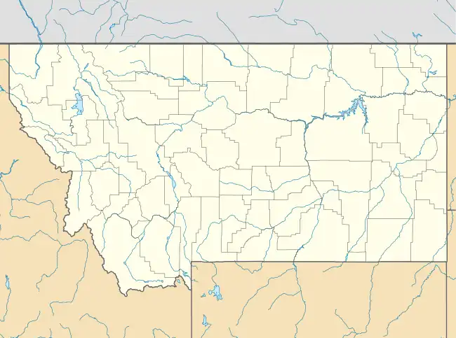
| County | Valley |
| Elevation | 2,910 ft (890 m) |
| Time zone | UTC-7 (Mountain (MST)) |
| • Summer (DST) | UTC-6 (MDT) |
| ZIP code | 59244 |
| Area code | 406 |
| GNIS feature ID | 767926[1] |
Larslan is an unincorporated community in Valley County, Montana, United States. Larslan is 20 miles (32 km) northeast of St. Marie. The community has a post office with ZIP code 59244.[2][3] Next to the post office there is an old one-room school house, play structure and basketball court.
The Larslan post office opened in 1918.[4] Beginning in the late 1920s, the town had a sizeable Mennonite population; the Mennonite Brethren Church held services from 1928 to 1990.[4]
References
- ↑ "Larslan". Geographic Names Information System. United States Geological Survey, United States Department of the Interior.
- ↑ United States Postal Service (2012). "USPS - Look Up a ZIP Code". Retrieved February 15, 2012.
- ↑ "Postmaster Finder - Post Offices by ZIP Code". United States Postal Service. Archived from the original on October 17, 2020. Retrieved July 8, 2014.
- 1 2 "Larlsan". Montana Place Names Companion. Montana Historical Society. Retrieved April 5, 2021.
Municipalities and communities of Valley County, Montana, United States | ||
|---|---|---|
| City | 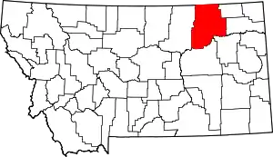 Valley County map | |
| Towns | ||
| CDPs | ||
| Other communities | ||
| Indian reservations | ||
| Ghost towns | ||
| Footnotes | ‡This populated place also has portions in an adjacent county or counties | |
This article is issued from Wikipedia. The text is licensed under Creative Commons - Attribution - Sharealike. Additional terms may apply for the media files.