Latiano | |
|---|---|
| Comune di Latiano | |
 | |
 Coat of arms | |
Location of Latiano | |
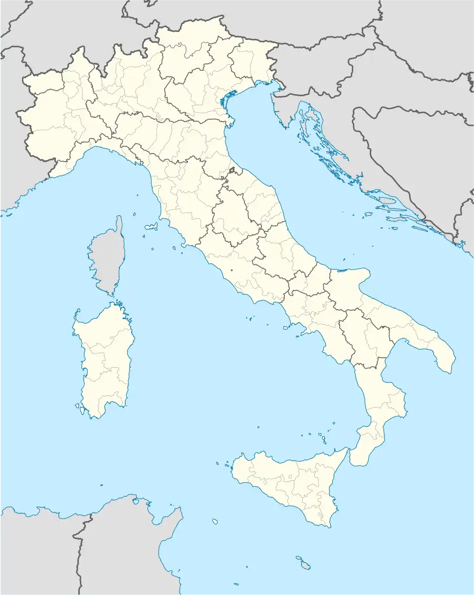 Latiano Location of Latiano in Italy 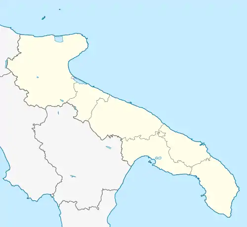 Latiano Latiano (Apulia) | |
| Coordinates: 40°32′N 17°43′E / 40.533°N 17.717°E | |
| Country | Italy |
| Region | Apulia |
| Province | Brindisi (BR) |
| Government | |
| • Mayor | Cosimo Maiorano |
| Area | |
| • Total | 54 km2 (21 sq mi) |
| Elevation | 97 m (318 ft) |
| Population (31 August 2017)[2] | |
| • Total | 14,513 |
| • Density | 270/km2 (700/sq mi) |
| Demonym | Latianesi |
| Time zone | UTC+1 (CET) |
| • Summer (DST) | UTC+2 (CEST) |
| Postal code | 72022 |
| Dialing code | 0831 |
| Patron saint | St. Margaret the Virgin |
| Saint day | 20 July |
| Website | Official website |
Latiano (Brindisino: Latianu; Leccese: Latianea) is a comune in the province of Brindisi in Apulia, on the southeast coast of Italy. Its main economic activities are tourism and the growing of olives and grapes.
Bartolo Longo was a native of Latiano.
Main sights
- Castle, or Palazzo Imperiali, built in the 12th century, but rebuilt several times until the current 18th-century appearance
- Mother Church or Santa Maria della Neve, restored in Baroque style in 1778.
- Solise Tower
- Museo del Sottosuolo (Museum of the Underground), founded in 1973
Twin towns
 Pompei, Italy, since 1980
References
- ↑ "Superficie di Comuni Province e Regioni italiane al 9 ottobre 2011". Italian National Institute of Statistics. Retrieved 16 March 2019.
- ↑ Population from ISTAT
 | ||
This article is issued from Wikipedia. The text is licensed under Creative Commons - Attribution - Sharealike. Additional terms may apply for the media files.