Le Perray-en-Yvelines | |
|---|---|
 The town hall in Le Perray-en-Yvelines | |
.svg.png.webp) Coat of arms | |
Location of Le Perray-en-Yvelines | |
 Le Perray-en-Yvelines 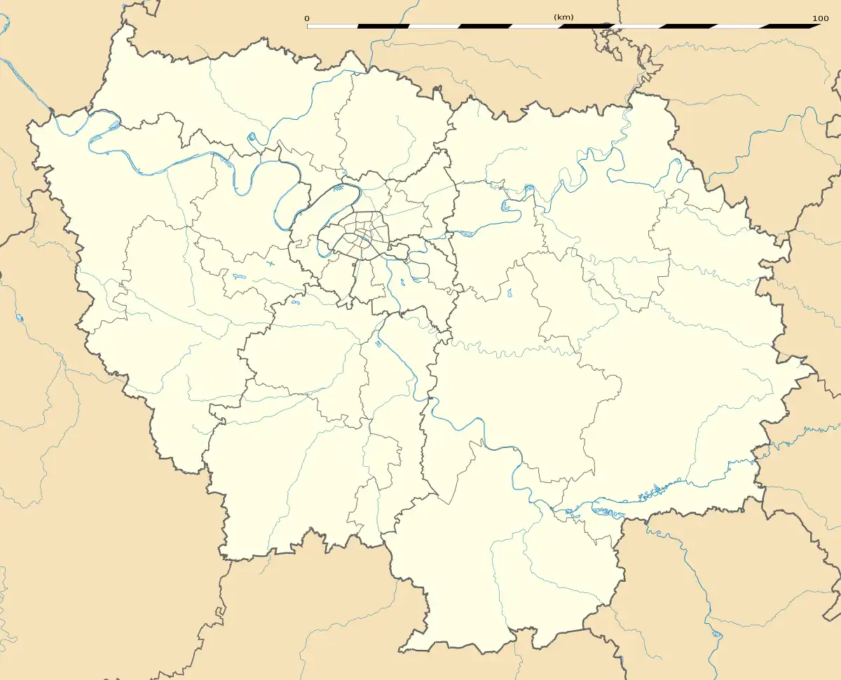 Le Perray-en-Yvelines | |
| Coordinates: 48°41′41″N 1°51′18″E / 48.6947°N 1.855°E | |
| Country | France |
| Region | Île-de-France |
| Department | Yvelines |
| Arrondissement | Rambouillet |
| Canton | Rambouillet |
| Intercommunality | CA Rambouillet Territoires |
| Government | |
| • Mayor (2020–2026) | Geoffroy Bax de Keating[1] |
| Area 1 | 13.47 km2 (5.20 sq mi) |
| Population | 6,543 |
| • Density | 490/km2 (1,300/sq mi) |
| Time zone | UTC+01:00 (CET) |
| • Summer (DST) | UTC+02:00 (CEST) |
| INSEE/Postal code | 78486 /78610 |
| Elevation | 155–179 m (509–587 ft) (avg. 175 m or 574 ft) |
| 1 French Land Register data, which excludes lakes, ponds, glaciers > 1 km2 (0.386 sq mi or 247 acres) and river estuaries. | |
Le Perray-en-Yvelines (French pronunciation: [lə peʁɛ ɑ̃.n‿ivlin] ⓘ) is a commune in the Yvelines department in the west of Île-de-France in north-central France.
Population
| Year | Pop. | ±% p.a. |
|---|---|---|
| 1968 | 2,341 | — |
| 1975 | 3,001 | +3.61% |
| 1982 | 4,016 | +4.25% |
| 1990 | 4,645 | +1.84% |
| 1999 | 5,828 | +2.55% |
| 2007 | 6,427 | +1.23% |
| 2012 | 6,680 | +0.78% |
| 2017 | 6,724 | +0.13% |
| Source: INSEE[3] | ||
See also
References
- ↑ "Répertoire national des élus: les maires" (in French). data.gouv.fr, Plateforme ouverte des données publiques françaises. 13 September 2022.
- ↑ "Populations légales 2021". The National Institute of Statistics and Economic Studies. 28 December 2023.
- ↑ Population en historique depuis 1968, INSEE
Wikimedia Commons has media related to Le Perray-en-Yvelines.
This article is issued from Wikipedia. The text is licensed under Creative Commons - Attribution - Sharealike. Additional terms may apply for the media files.