| Le Tabor | |
|---|---|
_et_Nantes-en-Ratier.jpg.webp) Le Tabor, October 2009 | |
| Highest point | |
| Elevation | 2,389 m (7,838 ft)[1] |
| Prominence | 1,022 m (3,353 ft)[1] |
| Coordinates | 44°59′N 05°51′E / 44.983°N 5.850°E[1] |
| Geography | |
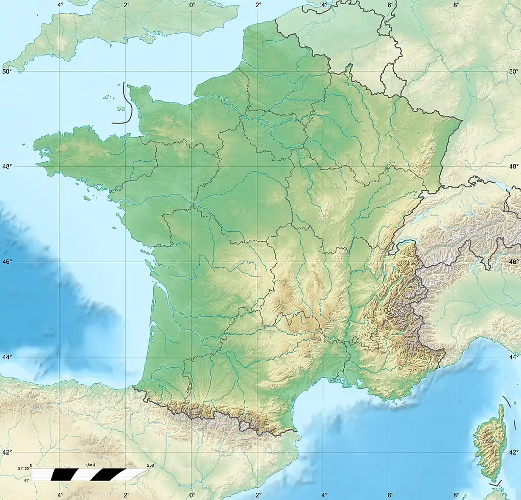 Le Tabor France | |
| Location | Isère, France |
| Parent range | Dauphine Alps |
References
- 1 2 3 "Le Tabor". Peakbagger.com. Retrieved 2009-12-30.
This article is issued from Wikipedia. The text is licensed under Creative Commons - Attribution - Sharealike. Additional terms may apply for the media files.