Les Essards | |
|---|---|
Part of Langeais | |
Location of Les Essards | |
 Les Essards 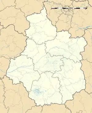 Les Essards | |
| Coordinates: 47°20′46″N 0°18′10″E / 47.3461°N 0.3028°E | |
| Country | France |
| Region | Centre-Val de Loire |
| Department | Indre-et-Loire |
| Arrondissement | Chinon |
| Canton | Langeais |
| Commune | Langeais |
| Area 1 | 4.17 km2 (1.61 sq mi) |
| Population (2019)[1] | 148 |
| • Density | 35/km2 (92/sq mi) |
| Time zone | UTC+01:00 (CET) |
| • Summer (DST) | UTC+02:00 (CEST) |
| Postal code | 37130 |
| Elevation | 52–105 m (171–344 ft) |
| 1 French Land Register data, which excludes lakes, ponds, glaciers > 1 km2 (0.386 sq mi or 247 acres) and river estuaries. | |
Les Essards (French pronunciation: [le.z‿ɛsaʁ] ⓘ) is a former commune in the Indre-et-Loire department in central France. On 1 January 2017, it was merged into the commune Langeais.[2]
Population
|
|
See also
References
- ↑ Téléchargement du fichier d'ensemble des populations légales en 2019, INSEE
- ↑ Arrêté préfectoral 30 September 2016 (in French)
Wikimedia Commons has media related to Les Essards (Indre-et-Loire).
This article is issued from Wikipedia. The text is licensed under Creative Commons - Attribution - Sharealike. Additional terms may apply for the media files.