Liérganes | |
|---|---|
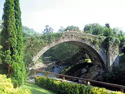 Old Bridge at Liérganes | |
 Flag  Coat of arms | |
_Mapa.svg.png.webp) Location of Liérganes | |
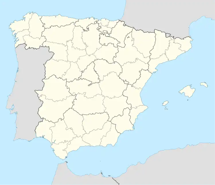 Liérganes Location in Spain | |
| Coordinates: 43°20′36″N 3°44′28″W / 43.34333°N 3.74111°W | |
| Country | |
| Autonomous community | |
| Province | Cantabria |
| Comarca | Pas and Miera valleys |
| Judicial district | Medio Cudeyo |
| Capital | Liérganes |
| Government | |
| • Alcalde | Santiago Rego Rodríguez (2015) (ULP) |
| Area | |
| • Total | 36.73 km2 (14.18 sq mi) |
| Elevation | 110 m (360 ft) |
| Population (2018)[1] | |
| • Total | 2,370 |
| • Density | 65/km2 (170/sq mi) |
| Demonym(s) | Lierganés, sa |
| Time zone | UTC+1 (CET) |
| • Summer (DST) | UTC+2 (CEST) |
| Website | Official website |
Liérganes is a municipality located in the autonomous community of Cantabria, Spain.[2] According to the 2007 census, the city has a population of 2,391 inhabitants.
Towns
- Bucarrero
- Calgar
- Casa del Monte
- El Condado
- La Costera
- Extremera
- La Herrán
- Liérganes (capital)
- El Mercadillo
- Las Porquerizas
- Los Prados
- La Quieva
- La Rañada
- El Rellano
- Rubalcaba
- La Vega
- Pámanes
- Somarriba
- Tarriba
References
- ↑ Municipal Register of Spain 2018. National Statistics Institute.
- ↑ "Liérganes". Cantabria 102 Municipios (in Spanish). Archived from the original on 21 September 2019. Retrieved 9 April 2020.

Plaza del Marqués de Valdecilla in Liérganes.

View of Rubalcaba town, in Liérganes.
This article is issued from Wikipedia. The text is licensed under Creative Commons - Attribution - Sharealike. Additional terms may apply for the media files.