Linkeroever | |
|---|---|
District | |
_Sunset_00352.JPG.webp) Linkeroever at sunset, seen from Antwerp across the river Scheldt | |
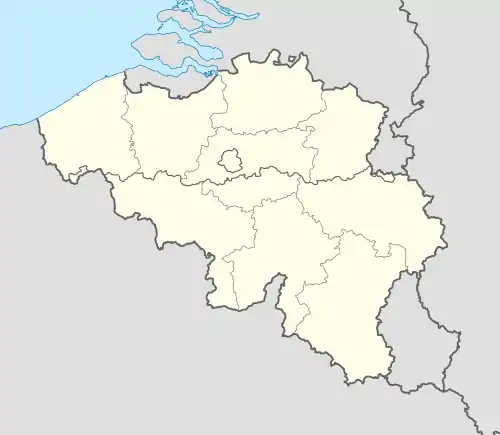
 Linkeroever Location in Belgium | |
| Coordinates: 51°13′25″N 4°22′25″E / 51.22361°N 4.37361°E | |
| Country | |
| Region | Flemish Region |
| Province | Antwerp |
| Municipality | Antwerp |
| Area | |
| • Total | 10.11 km2 (3.90 sq mi) |
| Population (2021)[1] | |
| • Total | 16,545 |
| • Density | 1,600/km2 (4,200/sq mi) |
| Time zone | CET |
Linkeroever (Literal translation: Left bank) is an area in the city of Antwerp, on the left bank of the Scheldt river. Historically it was a neighbourhood which belonged to Zwijndrecht, but on 19 March 1923, it was attached to Antwerp. Linkeroever has a population of 16,545 (2021).[1] Before receiving its current name the area was known as "Borger Weert Polder".
Notable buildings in Linkeroever
- Chicagoblok (Europark)
See also
- Antwerpen-Linkeroever, a now defunct railway station in service between 1844 and 1984.
References
- 1 2 3 "Bevolking per statistische sector - Sector 11002B". Statistics Belgium. Retrieved 9 May 2022.
External links
This article is issued from Wikipedia. The text is licensed under Creative Commons - Attribution - Sharealike. Additional terms may apply for the media files.