Liptovské Matiašovce | |
|---|---|
Village | |
 Saint Ladislaus Church | |
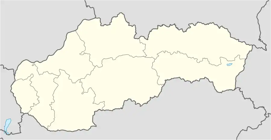 Liptovské Matiašovce Location of Liptovské Matiašovce in Slovakia | |
| Coordinates: 49°10′N 19°34′E / 49.167°N 19.567°E | |
| Country | Slovakia |
| Region | Žilina |
| District | Liptovský Mikuláš |
| Area | |
| • Total | 5.73[1] km2 (2.21[1] sq mi) |
| Elevation | 648[2] m (2,126[2] ft) |
| Population (2021) | |
| • Total | 318[3] |
| Postal code | 032 24[2] |
| Area code | +421 44[2] |
| Car plate | LM |
| Website | http://www.obecliptovskematiasovce.sk/ |
Liptovské Matiašovce (Slovak: [ˈliptɔwskeː ˈmaciɐʂɔwtse]; Hungarian: Mattyasóc) is a village and municipality in Liptovský Mikuláš District in the Žilina Region of northern Slovakia.[4]
History
In historical records the village was first mentioned in 1416.
Geography
The municipality lies at an altitude of 626 metres and covers an area of 5.733 km². It has a population of about 290 people.
References
- 1 2 "Hustota obyvateľstva - obce [om7014rr_ukaz: Rozloha (Štvorcový meter)]". www.statistics.sk (in Slovak). Statistical Office of the Slovak Republic. 2022-03-31. Retrieved 2022-03-31.
- 1 2 3 4 "Základná charakteristika". www.statistics.sk (in Slovak). Statistical Office of the Slovak Republic. 2015-04-17. Retrieved 2022-03-31.
- ↑ "Počet obyvateľov podľa pohlavia - obce (ročne)". www.statistics.sk (in Slovak). Statistical Office of the Slovak Republic. 2022-03-31. Retrieved 2022-03-31.
- ↑ "Statistical Office of the Slovak Republic" (PDF). Výsledky SODB 2011. Štatistický úrad SR. Archived from the original (PDF) on 2013-10-12. Retrieved 2012-08-11.
External links
This article is issued from Wikipedia. The text is licensed under Creative Commons - Attribution - Sharealike. Additional terms may apply for the media files.