From List of National Natural Landmarks, these are the National Natural Landmarks in California. There are 37 in total.[1]
California National Natural Landmarks (clickable map)


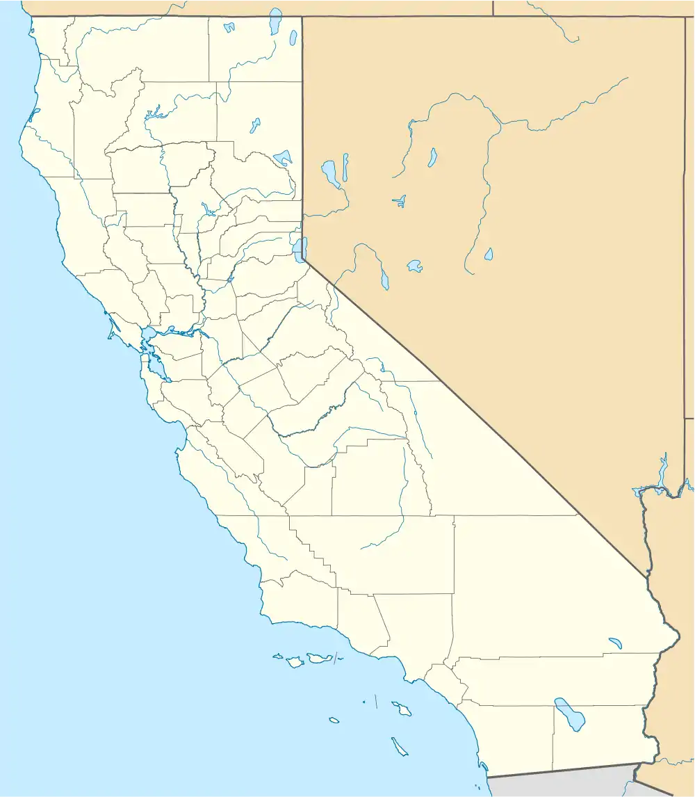
.jpg.webp)


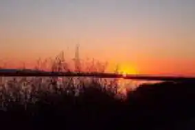
.jpg.webp)
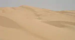
.jpg.webp)
.jpg.webp)
References
- ↑ "National Natural Landmarks Program, California". National Park Service. Retrieved 2013-01-04.
- ↑ "American River Bluffs and Phoenix Park Vernal Pools". www.nps.gov. Retrieved 2017-09-30.
- ↑ "Año Nuevo State Reserve". CA State Parks. Retrieved 2017-09-30.
- ↑ "Anza-Borrego Desert State Park". www.nps.gov. Retrieved 2017-09-30.
- ↑ "Audubon Canyon Ranch". www.nps.gov. Retrieved 2017-09-30.
- ↑ "Black Chasm Cave". www.nps.gov. Retrieved 2017-09-30.
- ↑ "Burney Falls". www.nps.gov. Retrieved 2017-09-30.
- ↑ "Cinder Cone Natural Area". www.nps.gov. Retrieved 2017-09-30.
- ↑ "Cosumnes River Preserve Visitor Center | BUREAU OF LAND MANAGEMENT". www.blm.gov. Retrieved 2017-09-30.
- ↑ "Deep Springs Marsh". www.nps.gov. Retrieved 2017-09-30.
- ↑ "Dixon Vernal Pools". www.nps.gov. Retrieved 2017-09-30.
- ↑ "Elder Creek". www.nps.gov. Retrieved 2017-09-30.
- ↑ "Emerald Bay". www.nps.gov. Retrieved 2017-09-30.
- ↑ "Eureka Dunes - Death Valley National Park (U.S. National Park Service)". www.nps.gov. Retrieved 2017-10-01.
- ↑ "Fish Slough Area of Critical Environmental Concern". www.blm.gov. Retrieved 2017-10-01.
- ↑ "Nipomo Dunes-Point Sal Coastal Area". www.nps.gov. Retrieved 2017-10-01.
- ↑ "Imperial Sand Hills". www.nps.gov. Retrieved 2017-10-01.
- ↑ "Irvine Ranch". www.nps.gov. Retrieved 2017-10-01.
- ↑ "Lake Shasta Caverns". www.nps.gov. Retrieved 2017-10-02.
- ↑ "High Plateaus, Smelly Caverns, and Coastal Dunes, Meet the Nation's Newest Natural Landmarks (U.S. National Park Service)". www.nps.gov. Retrieved 2021-04-19.
- ↑ "Miramar Mounds". www.nps.gov. Retrieved 2017-10-01.
- ↑ "Mitchell Caverns and Winding Stair Cave". www.nps.gov. Retrieved 2017-10-01.
- ↑ "Mount Diablo". www.nps.gov. Retrieved 2017-10-01.
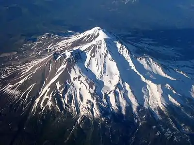
- ↑ "Mount Shasta". www.nps.gov. Retrieved 2017-10-01.
- ↑ "Pixley Vernal Pools". CNLM. 22 May 2015. Retrieved 2017-10-01.
- ↑ "Point Lobos State Reserve". www.nps.gov. Retrieved 2017-10-01.
- ↑ "Jug Handle Ecological Staircase Trail - Mendocino Land Trust - 2017". Mendocino Land Trust 2017. Retrieved 2017-10-01.
- ↑ "Rainbow Basin". www.nps.gov. Retrieved 2017-10-01.
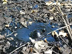
- ↑ "Rancho La Brea". www.nps.gov. Retrieved 2017-10-01.
- ↑ "San Andreas Fault". www.nps.gov. Retrieved 2017-10-01.
- ↑ "San Felipe Creek Area". www.nps.gov. Retrieved 2017-10-01.
- ↑ "Sand Ridge". CNLM. 7 December 2015. Retrieved 2017-10-01.
- ↑ Choi, Charles Q. (June 9, 2009). "Vast Bed of Ancient Bones and Shark Teeth Explained". Live Science. Retrieved 2017-10-02.
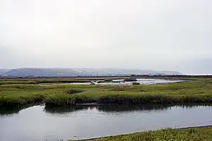
- ↑ "Tijuana River Estuary". www.nps.gov. Retrieved 2017-10-02.
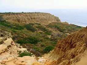
- ↑ "Torrey Pines State Reserve". www.nps.gov. Retrieved 2017-10-02.
- ↑ "Trona Pinnacles". www.nps.gov. Retrieved 2017-10-02.
- ↑ "Turtle Mountaoins Wilderness". www.nps.gov. Retrieved 2017-10-02.
This article is issued from Wikipedia. The text is licensed under Creative Commons - Attribution - Sharealike. Additional terms may apply for the media files.