 Detailed map of the national park | |
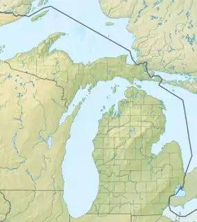
 Location within the state of Michigan  Location within the United States | |
| Geography | |
|---|---|
| Location | Lake Superior |
| Coordinates | 48°00′N 88°51′W / 48.000°N 88.850°W |
| Total islands | 450 (113 named) |
| Major islands | Isle Royale |
| Area | 209 sq mi (540 km2) |
| Administration | |
United States National Park Service | |
| U.S. state | Michigan |
| County | Keweenaw County |
| Townships | Eagle Harbor and Houghton |
| Demographics | |
| Population | 0 (permanent) |
| Additional information | |
| Time zone | |
| • Summer (DST) |
|
The following is a list of islands in Isle Royale National Park. Located in Lake Superior, Isle Royale is the second largest island in the Great Lakes system, after only Manitoulin Island in Lake Huron. At 206.7 square miles (535 km2), the island of Isle Royale itself is the third largest island in the contiguous United States (after Long Island and Padre Island) and is the fourth largest lake island in the world. Isle Royale National Park has a total area of 894 square miles (2,320 km2), of which 209 square miles (540 km2) is land.
Isle Royale National Park consists of one large island (Isle Royale) surrounded by over 450 smaller islands, although approximately 110 of these islands are formally named.[1] While Isle Royale National Park contains no permanent population and is governed by the National Park Service, the area itself is part of Keweenaw County. The northern half of the park is administered locally by Houghton Township, while the southern half is part of Eagle Harbor Township.[2]
List of islands
See also
Notes
- 1 2 3 4 5 This lake island can be defined as an island in a lake on an island in a lake, as it is located in a lake (Lake Richie or Siskiwit Lake) that is on an island (Isle Royale) within another lake (Lake Superior). The main island of Isle Royale contains numerous small interior lakes that may also have some unnamed islands.
- ↑ Gull Islands consists of several small islands very close to the Canada–United States border and is the northernmost point of land in the state of Michigan. It is also the easternmost point of land in Isle Royale National Park.
- ↑ Menagerie Island contains the historic Isle Royale Light.
- ↑ North Rock is the southernmost and westernmost named island in Isle Royale National Park. However, there are several unnamed islands nearby, including the historic Rock of Ages Light.
- ↑ Passage Island contains the Passage Island Light, which is the northernmost manmade structure in the state of Michigan.
References
- ↑ National Park Service (2022). "Isle Royale National Park: Nature & Science". Retrieved September 9, 2022.
- ↑ United States Census Bureau (2000). "Michigan municipality boundaries" (PDF). p. F-4 Michigan. Retrieved September 9, 2022.