Hungary has ten national parks which cover approximately 10 percent of the country's territory. The parks are managed by the National Parks of Hungary government agency (Hungarian: Nemzeti park igazgatóság).
| Photo | Name | Established | Area | Seat | Map | Symbol |
|---|---|---|---|---|---|---|
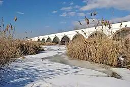 | Hortobágy National Park | 1973 (January 1) | 809.572 km2 (312.577 sq mi) | Debrecen |  | Common crane |
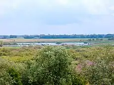 | Kiskunság National Park | 1975 (January 1) | 506.410 km2 (195.526 sq mi) | Kecskemét |  | Sand dune landscape |
_-_B%C3%BCkk_mountain%252C_One_of_the_most_beautiful_regions_of_our_country_-_panoramio.jpg.webp) | Bükk National Park | 1977 (January 1) | 422.834 km2 (163.257 sq mi) | Eger (Felnémet) |  | Carlina acaulis |
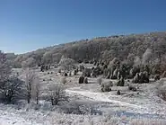 | Aggtelek National Park | 1985 (January 1) | 201.837 km2 (77.930 sq mi) | Jósvafő |  | Fire salamander |
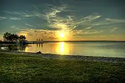 | Fertő-Hanság National Park | 1991 (January 1) | 238.913 km2 (92.245 sq mi) | Sarród |  | Great egret |
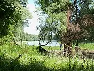 | Danube-Drava National Park | 1996 (January 1) | 497.516 km2 (192.092 sq mi) | Pécs |  | Flora, Danube and Drava |
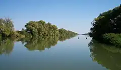 | Körös-Maros National Park | 1997 (January 16) | 512.465 km2 (197.864 sq mi) | Szarvas |  | Great bustard |
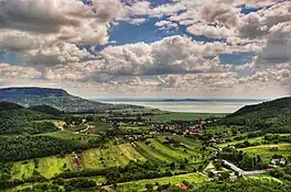 | Balaton Uplands National Park | 1997 | 570.190 km2 (220.152 sq mi) | Csopak |  | Butte, Primula farinosa and Water |
 | Danube-Ipoly National Park | 1997 | 606.760 km2 (234.271 sq mi) | Budapest and Esztergom |  | Rosalia longicorn |
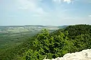 | Őrség National Park | 2002 | 440.483 km2 (170.071 sq mi) | Őriszentpéter |  | Western capercaillie and Daphne cneorum |
See also
External links
This article is issued from Wikipedia. The text is licensed under Creative Commons - Attribution - Sharealike. Additional terms may apply for the media files.
