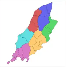
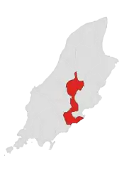
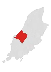
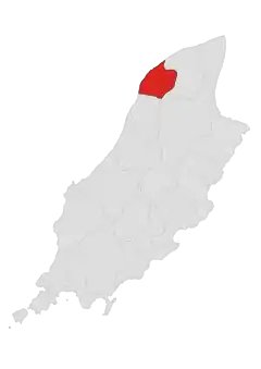
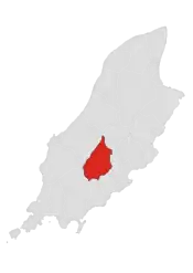
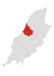
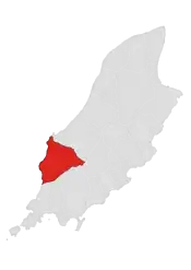
Sheadings and districts of the Isle of Man.
The Isle of Man, a self-governing British Crown Dependency, in the Irish Sea, was until May 2016 divided into 24 districts for administrative purposes. These were 15 parishes, 4 towns and 5 villages, each forming the lowest unit of local government in the Isle of Man.[1]
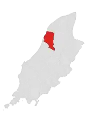
In May 2016, the three districts of Laxey, Lonan and Maughold merged for administrative purposes to form the parish district of Garff. In 2020. the two parish districts of Arbory and Rushen merged for administrative purposes to form the parish district of Arbory and Rushen. The total number of administrative districts thus reduced to 21, made up of:
- four towns
- two "districts" (Michael and Onchan, both of which are historically parishes)
- two "village districts" (Port Erin and Port St Mary)
- and 13 "parish districts" (including Garff, which is made up of two historical parishes: Lonan and Maughold).[2]
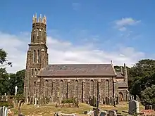
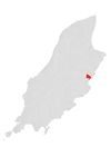
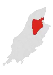
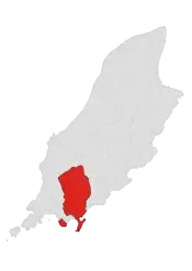
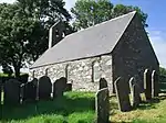
Parishes and other units


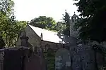

2.jpg.webp)


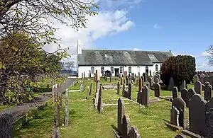
_church_-_geograph.org.uk_-_32559.jpg.webp)


References
- 1 2 3 "General Population Statistics" (PDF), Isle of Man Census Report 2006, Economic Affairs Division, Isle of Man Government Treasury, p. 14, archived from the original (PDF) on 5 March 2016
- ↑ "Isle of Man Government - Local authorities".
This article is issued from Wikipedia. The text is licensed under Creative Commons - Attribution - Sharealike. Additional terms may apply for the media files.