Little Rock, Kentucky | |
|---|---|
 Former community school | |
 Little Rock, Kentucky | |
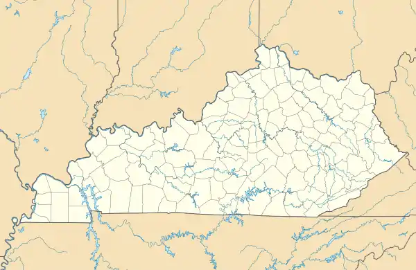
| Coordinates: 38°11′38″N 84°03′04″W / 38.19389°N 84.05111°W | |
| Country | United States |
| State | Kentucky |
| County | Bourbon |
| Elevation | 860 ft (260 m) |
| Time zone | UTC-5 (Eastern (EST)) |
| • Summer (DST) | UTC-4 (EDT) |
| Area code | 859 |
| GNIS feature ID | 496843[1] |
Little Rock is an unincorporated community in Bourbon County, Kentucky, United States. Little Rock is located on Kentucky Route 537 11 miles (18 km) east of Paris.[2]
References
- ↑ "Little Rock". Geographic Names Information System. United States Geological Survey, United States Department of the Interior.
- ↑ State Primary Road System: Bourbon County (PDF) (Map). Kentucky Transportation Cabinet. 2012. Retrieved April 30, 2013.
Municipalities and communities of Bourbon County, Kentucky, United States | ||
|---|---|---|
| Cities | 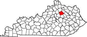 Location of Bourbon County, Kentucky | |
| Unincorporated communities | ||
This article is issued from Wikipedia. The text is licensed under Creative Commons - Attribution - Sharealike. Additional terms may apply for the media files.