Logan Creek, Nevada | |
|---|---|
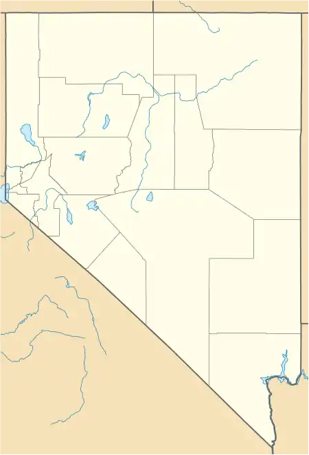 Logan Creek Location of Logan Creek, Nevada | |
| Coordinates: 39°3′55″N 119°56′34″W / 39.06528°N 119.94278°W | |
| Country | United States |
| State | Nevada |
| Area | |
| • Total | 1.81 sq mi (4.68 km2) |
| • Land | 1.75 sq mi (4.54 km2) |
| • Water | 0.06 sq mi (0.14 km2) |
| Elevation | 7,097 ft (2,163 m) |
| Population (2020) | |
| • Total | 40 |
| • Density | 22.83/sq mi (8.81/km2) |
| Time zone | UTC-8 (Pacific (PST)) |
| • Summer (DST) | UTC-7 (PDT) |
| ZIP code | 89413[3] |
| Area code | 775 |
| FIPS code | 32-42350 |
| GNIS feature ID | 2583939[2] |
Logan Creek is a census-designated place (CDP) on the east shore of Lake Tahoe in Douglas County, Nevada, United States. The population was 26 at the 2010 census.[4]
Geography
Logan Creek is located along U.S. Route 50, north of Lakeridge and south of Glenbrook. It is 16 miles (26 km) east along US-50 to Carson City. According to the United States Census Bureau, the CDP has a total area of 1.8 square miles (4.7 km2), of which 1.7 square miles (4.5 km2) is land and 0.039 square miles (0.1 km2), or 3.06%, is water.[4]
Demographics
| Census | Pop. | Note | %± |
|---|---|---|---|
| 2010 | 26 | — | |
| 2020 | 40 | 53.8% | |
| U.S. Decennial Census[5] | |||
References
- ↑ "ArcGIS REST Services Directory". United States Census Bureau. Retrieved September 19, 2022.
- 1 2 U.S. Geological Survey Geographic Names Information System: Logan Creek, Nevada
- ↑ "Logan Creek NV ZIP Code". zipdatamaps.com. 2023. Retrieved June 16, 2023.
- 1 2 "Geographic Identifiers: 2010 Demographic Profile Data (G001): Logan Creek CDP, Nevada". U.S. Census Bureau, American Factfinder. Archived from the original on February 12, 2020. Retrieved January 24, 2013.
- ↑ "Census of Population and Housing". Census.gov. Retrieved June 4, 2016.
Municipalities and communities of Douglas County, Nevada, United States | ||
|---|---|---|
| CDPs | 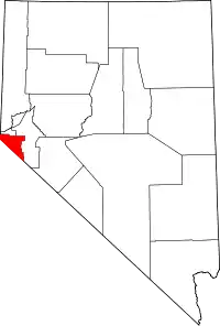 Douglas County map | |
| Unincorporated communities | ||
This article is issued from Wikipedia. The text is licensed under Creative Commons - Attribution - Sharealike. Additional terms may apply for the media files.