Los Arrieros, Texas | |
|---|---|
 Los Arrieros, Texas  Los Arrieros, Texas | |
| Coordinates: 26°30′57″N 99°05′04″W / 26.51583°N 99.08444°W | |
| Country | United States |
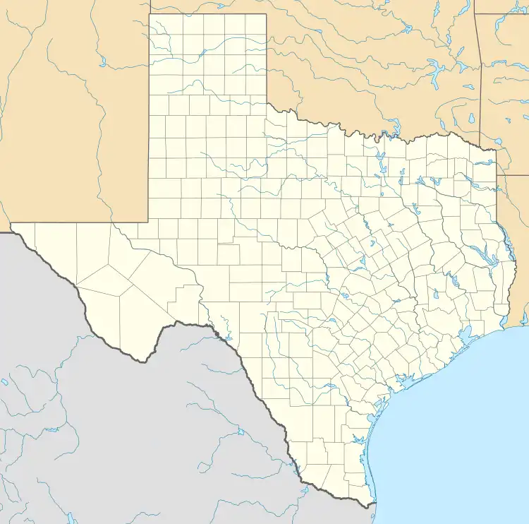
| State | Texas |
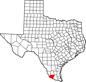
| County | Starr |
| Area | |
| • Total | 0.034 sq mi (0.09 km2) |
| • Land | 0.034 sq mi (0.09 km2) |
| • Water | 0 sq mi (0 km2) |
| Elevation | 302 ft (92 m) |
| Population | |
| • Total | 91 |
| • Density | 2,700/sq mi (1,000/km2) |
| Time zone | UTC-6 (Central (CST)) |
| • Summer (DST) | UTC-5 (CDT) |
| Area code | 956 |
| GNIS feature ID | 2584680[2] |
Los Arrieros is an unincorporated community and census-designated place in Starr County, Texas, United States. Its population was 91 as of the 2010 census.[1] U.S. Route 83 passes through the community.
Geography
According to the U.S. Census Bureau, the community has an area of 0.034 square miles (0.088 km2), all of it land.[1]
Education
It is in the Roma Independent School District.[3] The zoned elementary school for the 2010 Census community is Emma Vera Elementary School.[4] Roma High School is the district's sole comprehensive high school.
References
- 1 2 3 4 "2010 Census Gazetteer Files - Places: Texas". U.S. Census Bureau. Retrieved March 12, 2017.
- ↑ "Los Arrieros Census Designated Place". Geographic Names Information System. United States Geological Survey, United States Department of the Interior.
- ↑ "2020 CENSUS - SCHOOL DISTRICT REFERENCE MAP: Starr County, TX" (PDF). U.S. Census Bureau. Retrieved August 28, 2022. - 2010 map
- ↑ "Roma ISD School Boundaries". Roma Independent School District. Retrieved August 29, 2022.
This article is issued from Wikipedia. The text is licensed under Creative Commons - Attribution - Sharealike. Additional terms may apply for the media files.