| Lower Harpton | |
|---|---|
 | |
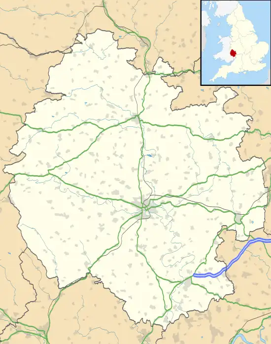 Lower Harpton Location within Herefordshire | |
| Area | 3.412 km2 (1.317 sq mi) |
| Population | 33 (2001 census) |
| • Density | 10/km2 (26/sq mi) |
| Civil parish |
|
| Unitary authority | |
| Shire county | |
| Region | |
| Country | England |
| Sovereign state | United Kingdom |
Lower Harpton is a settlement and civil parish about 2.5 miles of Knighton, in the county of Herefordshire, England. In 2001, the parish had a population of 33.[1] The parish touches Kington Rural, Knill and Old Radnor in Wales.[2] Lower Harpton shares a parish council with Kington Rural.[3][4]
Landmarks
There is 1 listed building in Lower Harpton called Dunfield House which is Grade II listed.[5]
History
Lower Harpton was recorded in the Domesday Book as Hercope.[6] Lower Harpton was formerly a township in the parish of Old Radnor,[7] in 1866 Lower Harpton became a civil parish in its own right.[8]
References
- ↑ Neighbourhood Statistics
- ↑ "Lower Harpton". Ordnance Survey. Retrieved 9 April 2021.
- ↑ "Kington Rural and Lower Harpton Group Parish Council". Herefordshire Council. Retrieved 9 April 2021.
- ↑ "Kington area neighbourhood plan" (PDF). Retrieved 9 April 2021.
- ↑ "Listed buildings in Lower Harpton, Herefordshire". British Listed Buildings. Retrieved 9 April 2021.
- ↑ "Herefordshire A-L". The Domesday Book Online. Retrieved 9 April 2021.
- ↑ "History of Lower Harpton in Herefordshire". A Vision of Britain through Time. Retrieved 9 April 2021.
- ↑ "Relationships and changes Lower Harpton CP/Tn through time". A Vision of Britain through Time. Retrieved 9 April 2021.
"Lower Harpton". City Population. Retrieved 9 April 2021.
Wikimedia Commons has media related to Lower Harpton.
This article is issued from Wikipedia. The text is licensed under Creative Commons - Attribution - Sharealike. Additional terms may apply for the media files.