| Müeterlishorn | |
|---|---|
 The Müeterlishorn (right) from Andermatt | |
| Highest point | |
| Elevation | 3,066 m (10,059 ft) |
| Prominence | 285 m (935 ft)[1] |
| Parent peak | Dammastock |
| Coordinates | 46°37′30″N 8°29′53″E / 46.62500°N 8.49806°E |
| Geography | |
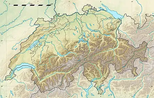 Müeterlishorn Location in Switzerland | |
| Location | Uri, Switzerland |
| Parent range | Urner Alps |
The Müeterlishorn is a mountain of the Urner Alps, overlooking the Göscheneralpsee in the canton of Uri. It lies on the chain that separates the Göschenertal from the valley called Urseren.
The closest locality is Realp on the southern side.
References
External links
This article is issued from Wikipedia. The text is licensed under Creative Commons - Attribution - Sharealike. Additional terms may apply for the media files.