| Mae Ngat Somboon Chon Dam | |
|---|---|
 | |
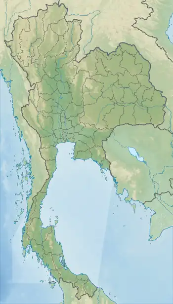 Dam location in Thailand | |
| Country | Thailand |
| Location | Mae Taeng, Chiang Mai |
| Coordinates | 19°9′41″N 99°2′24″E / 19.16139°N 99.04000°E |
| Purpose | Multi-purpose |
| Status | Operational |
| Opening date | 22 February 1986 |
| Owner(s) | Electricity Generating Authority of Thailand |
| Dam and spillways | |
| Type of dam | Earth fill dam |
| Impounds | Mae Ngat River |
| Height (foundation) | 59 m (194 ft) |
| Length | 1,950 m (6,400 ft) |
| Reservoir | |
| Creates | Mae Ngat Somboon Chon Reservoir |
| Total capacity | 265,000,000 m3 (9.4×10⁹ cu ft) |
| Catchment area | 1,281 km2 (495 sq mi)[1] |
| Surface area | 16 km2 (6.2 sq mi) |
| Power Station | |
| Operator(s) | Electricity Generating Authority of Thailand |
| Commission date | 1985 |
| Turbines | 2 x 4.5 MW |
| Installed capacity | 9 MW |
| Annual generation | 29 GWh |
| Website Mae Ngat Somboon Chon Dam at EGAT | |
The Mae Ngat Somboon Chon Dam (Thai: เขื่อนแม่งัดสมบูรณ์ชล, RTGS: Khuean Mae Ngat Sombun Chon, pronounced [kʰɯ̀a̯n mɛ̂ː ŋát sǒm.būːn t͡ɕʰōn]), is a multi-purpose hydroelectric dam in the Mae Taeng District of Chiang Mai Province, Thailand. It impounds the Mae Ngat River, a tributary of the Ping River.[2] The dam is located at the western side of Si Lanna National Park.[1]
Description
Mae Ngat Somboon Chon Dam is an earth fill dam. It is 1,950 m (6,400 ft) long and 59 m (194 ft) high.[2] Its reservoir has a maximum storage capacity of 265,000,000 m3 (9.4×10⁹ cu ft) with a catchment area of 1,281 km2 (495 sq mi).[1][2]
Power plant
The dam's power plant has two hydroelectric generating units, each with an installed capacity of 4.5 MW. They became operational in 1985.[2]
References
- 1 2 3 "Si Lanna National Park". Department of National Parks (Thailand). Archived from the original on 24 May 2015. Retrieved 8 July 2014.
- 1 2 3 4 "Mae Ngat Somboon Chon Dam". Electricity Generating Authority of Thailand (EGAT). Retrieved 8 July 2014.