Mahajeby | |
|---|---|
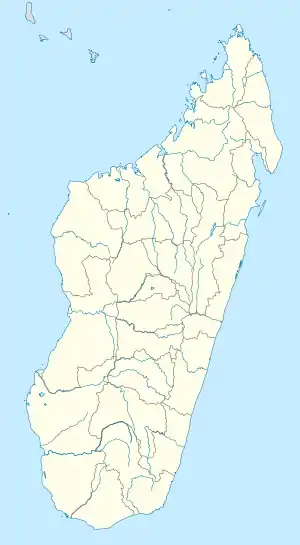 Mahajeby Location in Madagascar | |
| Coordinates: 18°03′S 46°00′E / 18.050°S 46.000°E | |
| Country | |
| Region | Bongolava |
| District | Fenoarivobe |
| Elevation | 663 m (2,175 ft) |
| Population (2018) | |
| • Total | 9,741 |
| Time zone | UTC3 (EAT) |
| Postal code | 115 |
Mahajeby is a municipality in Madagascar. It belongs to the district of Fenoarivobe, which is a part of Bongolava Region. The population of the commune was estimated to be approximately 9,741 in 2018.[1]
It lies between the Mahavavy Sud River.
A populations of Propithecus coronatus was recently found in a forest remains nearby.[2]
References
Capital: Tsiroanomandidy | ||
| Fenoarivobe (8) - 115 |  | |
| Tsiroanomandidy (16) - 119 | ||
2 districts; 25 communes | ||
This article is issued from Wikipedia. The text is licensed under Creative Commons - Attribution - Sharealike. Additional terms may apply for the media files.