| Maidensgrove | |
|---|---|
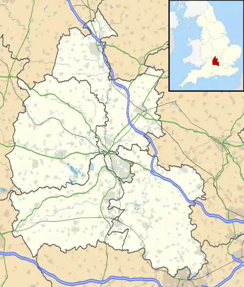 Maidensgrove Location within Oxfordshire | |
| OS grid reference | SU7288 |
| Civil parish | |
| District | |
| Shire county | |
| Region | |
| Country | England |
| Sovereign state | United Kingdom |
| Post town | Henley-on-Thames |
| Postcode district | RG9 |
| Dialling code | 01491 |
| Police | Thames Valley |
| Fire | Oxfordshire |
| Ambulance | South Central |
| UK Parliament | |
Maidensgrove is a hamlet above the Stonor valley in the Chiltern Hills, adjacent to Russell's Water common. It is about 5 miles (8.0 km) northwest of Henley-on-Thames in South Oxfordshire, England. There is a 16th-century public house called The Five Horseshoes at nearby Upper Maidensgrove. The Chiltern Way and Oxfordshire Way long-distance paths pass close by and the Warburg Nature Reserve is to the south.
External links

This article is issued from Wikipedia. The text is licensed under Creative Commons - Attribution - Sharealike. Additional terms may apply for the media files.