Mangualde | |
|---|---|
 Coat of arms | |
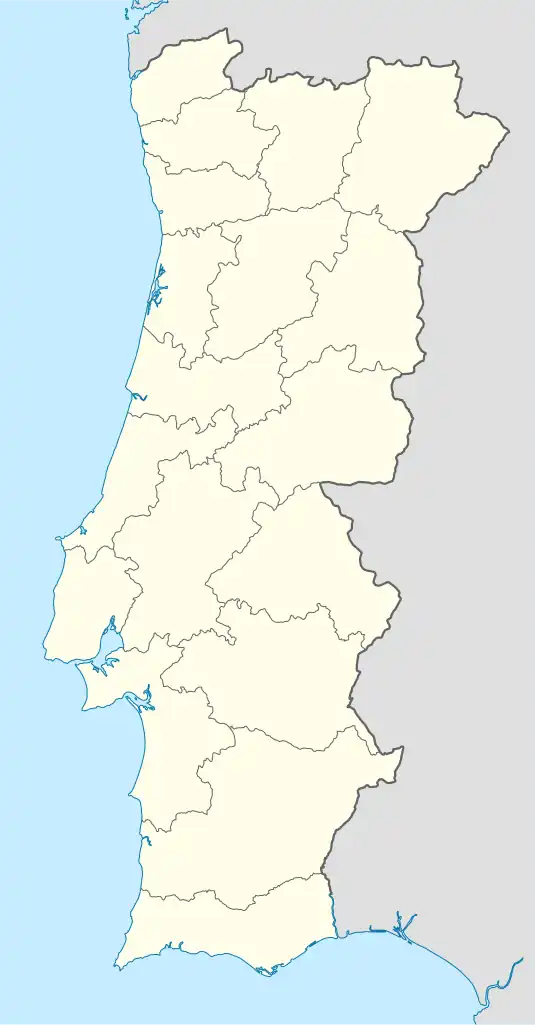 Mangualde Location in Portugal | |
| Coordinates: 40°36′21″N 7°45′57″W / 40.60583°N 7.76583°W | |
| Country | |
| Region | Centro |
| Intermunic. comm. | Viseu Dão Lafões |
| District | Viseu |
| Municipality | Mangualde |
| Disbanded | 2013 |
| Area | |
| • Total | 34.79 km2 (13.43 sq mi) |
| Population (2001) | |
| • Total | 8,904 |
| • Density | 260/km2 (660/sq mi) |
| Time zone | UTC±00:00 (WET) |
| • Summer (DST) | UTC+01:00 (WEST) |
Mangualde is a former civil parish in the municipality of Mangualde, Portugal. In 2013, the parish merged into the new parish Mangualde, Mesquitela e Cunha Alta.[1]
References
- ↑ Diário da República. "Law nr. 11-A/2013, pages 552 66-67" (PDF) (in Portuguese). Retrieved 28 July 2014.
This article is issued from Wikipedia. The text is licensed under Creative Commons - Attribution - Sharealike. Additional terms may apply for the media files.