Mentor, Washington | |
|---|---|
 Mentor  Mentor | |
| Coordinates: 46°27′32.6″N 117°28′21.6″W / 46.459056°N 117.472667°W | |
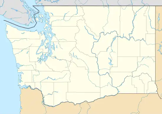
| Country | United States |
| State | Washington |
| County | Garfield |
| Elevation | 2,307 ft (703 m) |
| Time zone | UTC-8 (Pacific (PST)) |
| • Summer (DST) | UTC-7 (PDT) |
| ZIP code | 99347 |
| Area code | 509 |
| GNIS feature ID | 1514681 [1] |
Mentor is an unincorporated community in Garfield County, in the U.S. state of Washington.[2]
The community was named after Mentor, Ohio.[3]
U.S. Route 12 passes through the community, connecting it with Pomeroy, the county seat, to the west. The road follows the valley of Pataha Creek in this area.[4]
References
- ↑ "Mentor Summary Report". nationalmap.gov. U.S. Geological Survey. Retrieved October 10, 2023.
- ↑ U.S. Geological Survey Geographic Names Information System: Mentor, Washington
- ↑ Meany, Edmond S. (1923). Origin of Washington geographic names. Seattle: University of Washington Press. p. 164.
- ↑ "Alpowa Ridge Quadrangle". usgs.gov. U.S. Geological Survey.
Municipalities and communities of Garfield County, Washington, United States | ||
|---|---|---|
| City | 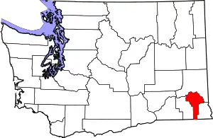 Map of Washington highlighting Garfield County | |
| CDP | ||
| Other communities | ||
| Ghost town | ||
| ||
This article is issued from Wikipedia. The text is licensed under Creative Commons - Attribution - Sharealike. Additional terms may apply for the media files.