| Middle Branch Moose River | |
|---|---|
 Crossing Route 28 in Old Forge | |
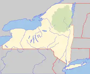 Location of the mouth within New York  Middle Branch Moose River (the United States) | |
| Location | |
| Country | United States |
| State | New York |
| Physical characteristics | |
| Source | First Lake |
| • location | Old Forge, New York |
| • coordinates | 43°42′46″N 74°58′12″W / 43.7128453°N 74.9698964°W[1] |
| • elevation | 1,706 feet (520 m)[2] |
| Mouth | Moose River |
• location | Mckeever, New York |
• coordinates | 43°37′16″N 75°04′39″W / 43.6211795°N 75.0773926°W[1] |
• elevation | 1,512 ft (461 m)[1] |
| Basin size | 151 sq mi (390 km2) |
| Basin features | |
| Tributaries | |
| • left | Nelson Lake |
| • right | North Branch Moose River |
Middle Branch Moose River starts in Old Forge, New York at the outlet of First Lake and flows into the Moose River in Mckeever, New York.[3]
References
- 1 2 3 "Middle Branch Moose River". Geographic Names Information System. United States Geological Survey, United States Department of the Interior. Retrieved May 25, 2020.
- ↑ "First Lake". Geographic Names Information System. United States Geological Survey, United States Department of the Interior. Retrieved May 25, 2020.
- ↑ "Middle Branch Moose River". usgs.gov. United States Geological Survey. Retrieved 22 April 2017.
This article is issued from Wikipedia. The text is licensed under Creative Commons - Attribution - Sharealike. Additional terms may apply for the media files.