| Middle Fork State Fish and Wildlife Area | |
|---|---|
IUCN category IV (habitat/species management area) | |
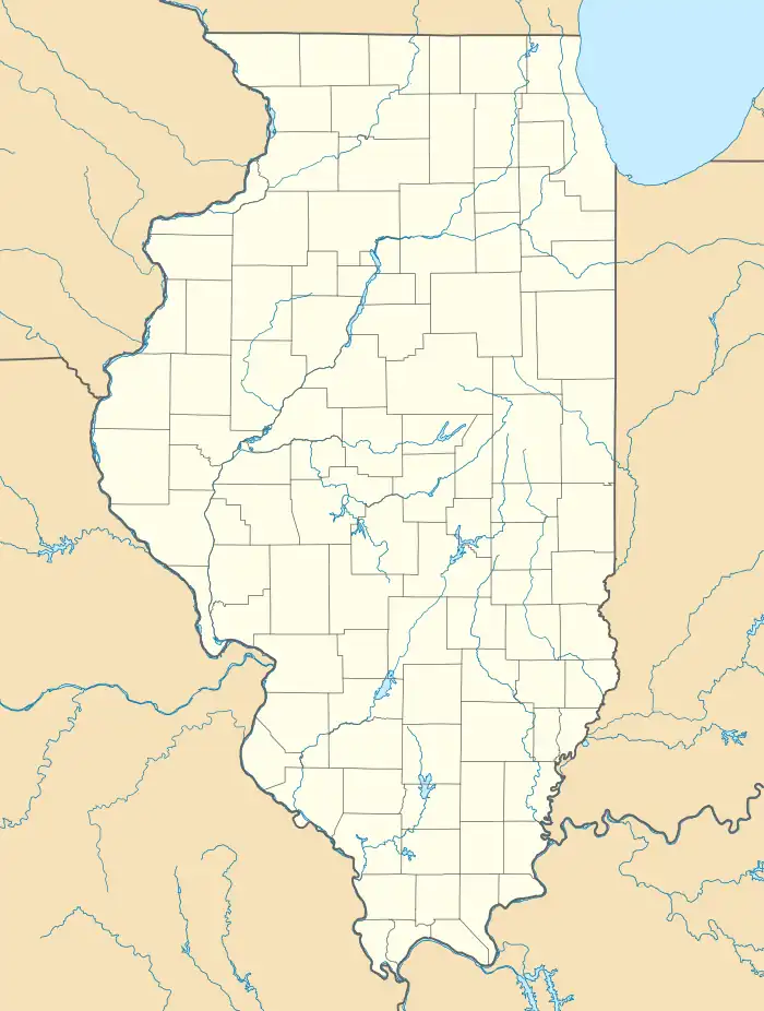 Map of the U.S. state of Illinois showing the location of Middle Fork State Fish and Wildlife Area  Middle Fork State Fish and Wildlife Area (the United States) | |
| Location | Vermilion County, Illinois, USA |
| Nearest city | Oakwood, Illinois |
| Coordinates | 40°15′34″N 87°47′38″W / 40.25944°N 87.79389°W |
| Area | 2,700 acres (1,100 ha) |
| Established | 1986 |
| Governing body | Illinois Department of Natural Resources |
Middle Fork State Fish and Wildlife Area is an Illinois state park on 2,700 acres (1,100 ha) in Vermilion County, Illinois, United States. It is located about 6 miles (9.7 km) north of Interstate 74 and the Oakwood exit. Its name comes from the Middle Fork of the Vermilion River that flows through the area.
References
- "Middle Fork State Fish and Wildlife Area". Illinois Department of Natural Resources. Archived from the original on June 15, 2007. Retrieved July 18, 2018.
- USGS. "Middle Fork State Fish and Wildlife Areas, USGS Potomac (IL) Quad". TopoQuest. Retrieved July 5, 2008.
This article is issued from Wikipedia. The text is licensed under Creative Commons - Attribution - Sharealike. Additional terms may apply for the media files.