Minami-ku, Hiroshima | |
|---|---|
Ward of Hiroshima | |
| 南区• Minami-ku | |
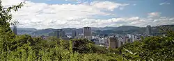 View of Hiroshima City from Mount Hiji | |
 Flag | |
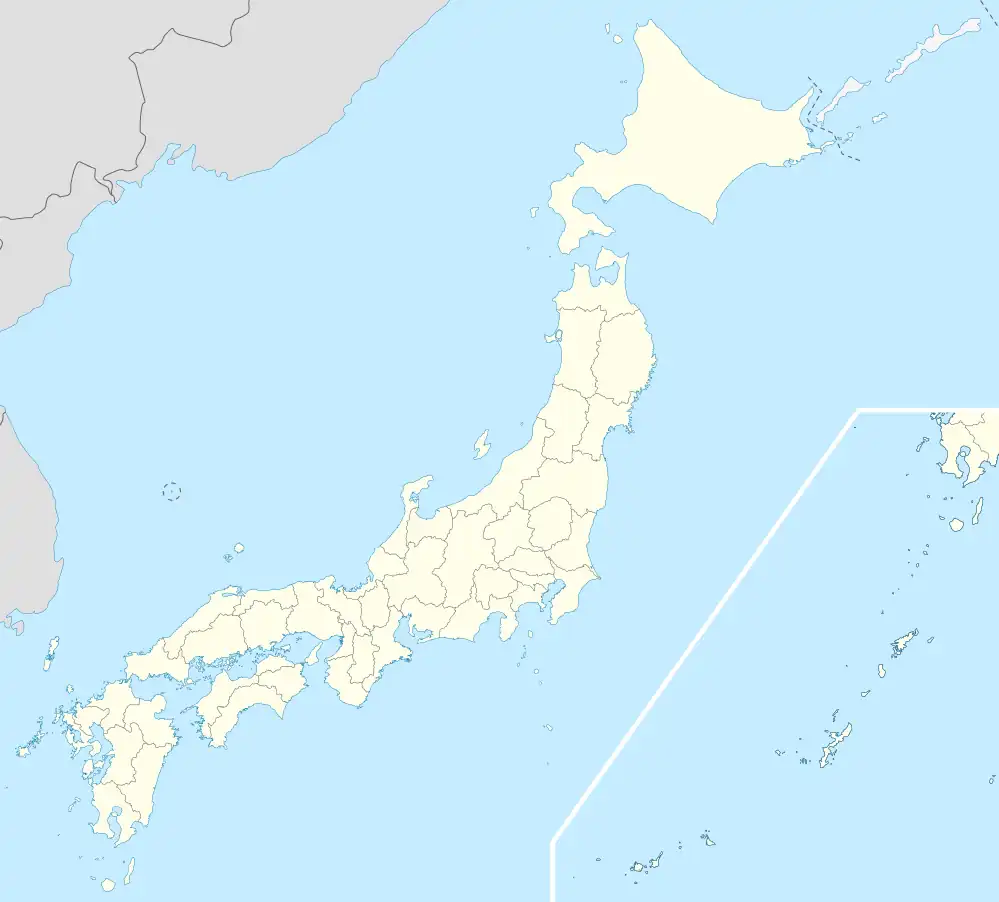
 Location of Minami-ku in Hiroshima City | |
 Minami-ku, Hiroshima | |
| Coordinates: 34°22′46″N 132°28′15″E / 34.37944°N 132.47083°E | |
| Country | Japan |
| Region | Chūgoku (Sanyo) |
| Prefecture | Hiroshima |
| City | Hiroshima |
| Area | |
| • Total | 26.09 km2 (10.07 sq mi) |
| Population (March 1, 2012) | |
| • Total | 138,471 |
| • Density | 5,307.44/km2 (13,746.2/sq mi) |
| Time zone | UTC+9 (Japan Standard Time) |
| Postal Number | 734-8522 |
| Address | Minami-cho 1-5-44, Naka-ku, Hiroshima City, Hiroshima Prefecture (広島県広島市皆実町1丁目5番44号) |
| Telephone Number | 81-(0)82-245-2111 |
Minami-ku (南区) is one of the eight wards of the city of Hiroshima, Japan. As of March 1, 2012, the ward had an estimated population of 138,471, with 66,706 households and a population density of 5,307.44 persons per km². The total area was 26.09 km².
| Hiroshima |
| ||
|---|---|---|---|
| Core cities | |||
| Cities | |||
| Districts | |||
This article is issued from Wikipedia. The text is licensed under Creative Commons - Attribution - Sharealike. Additional terms may apply for the media files.