Native name: 南浮原島 | |
|---|---|
 Minamiukibaru Island | |
| Geography | |
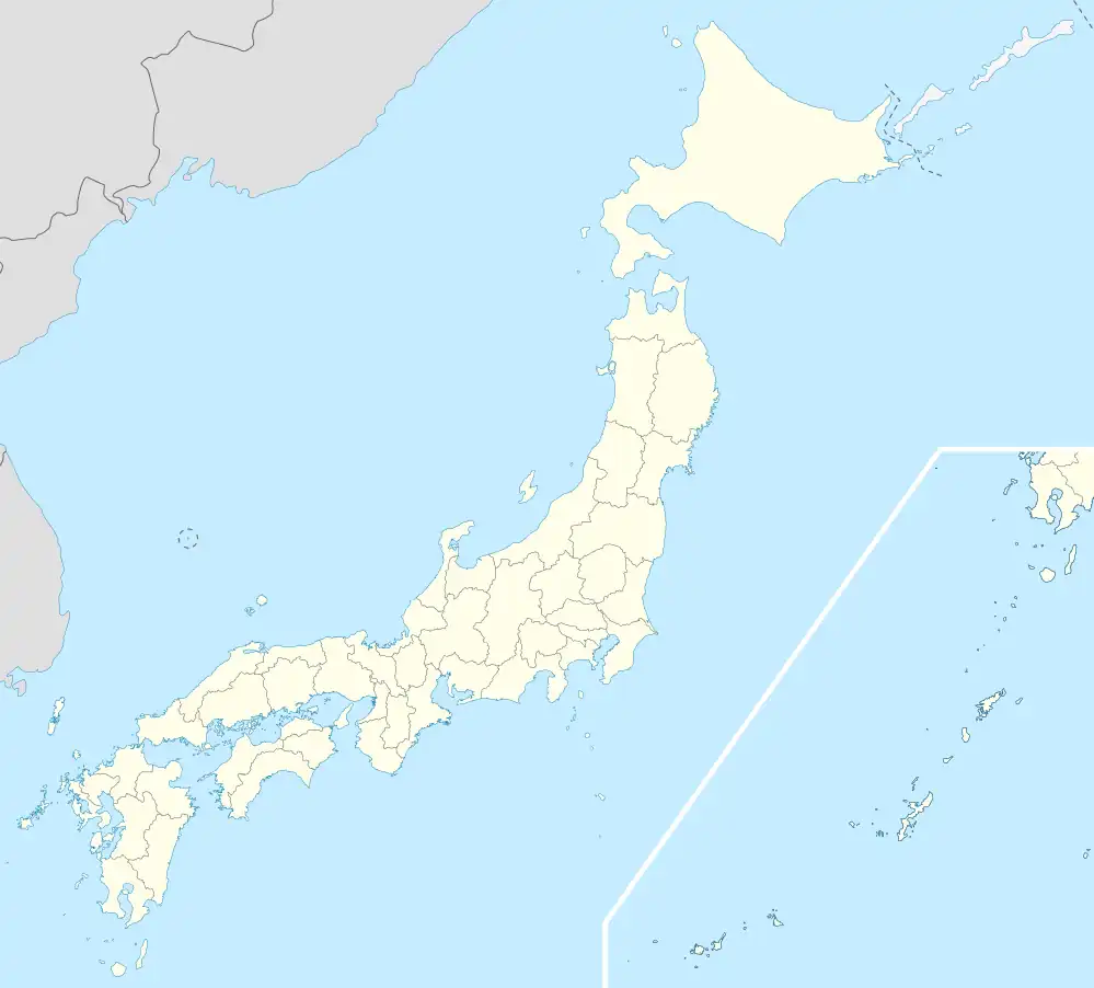
| Location | Japan |
| Coordinates | 26°17′22″N 127°58′49″E / 26.28944°N 127.98028°E |
| Archipelago | Yokatsu Islands (Ryukyu Islands) |
| Highest elevation | 8 m (26 ft) |
| Administration | |
| Prefecture | Okinawa |
| City | Uruma |
| Demographics | |
| Population | 0 (uninhabited) |
Minamiukibaru Island (南浮原島, Minamiukibaru-jima), also known as Miukiharu Island,[1] is an islet in the Yokatsu Islands of Okinawa Prefecture, Japan.[1]
It is located southeast of Hamahiga-jima and southwest of Ukibaru-jima.
References
- 1 2 "Minamiukibaru-jima (Minamiukibarujima) Map, Weather and Photos - Japan: island - Lat:26.2894 and Long:127.98". www.getamap.net. Retrieved 2021-09-08.
This article is issued from Wikipedia. The text is licensed under Creative Commons - Attribution - Sharealike. Additional terms may apply for the media files.