| Mjedena Glava | |
|---|---|
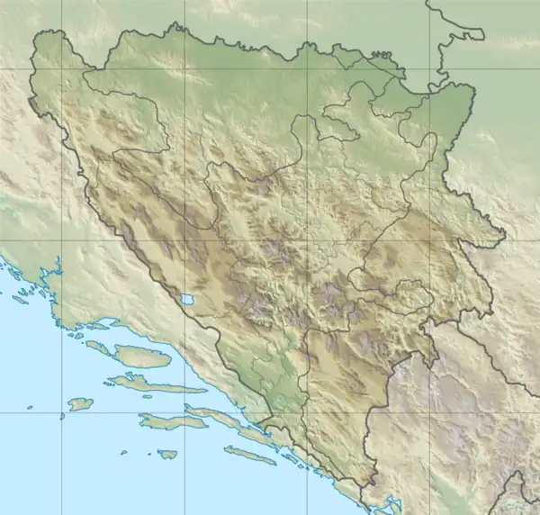 Mjedena Glava | |
| Highest point | |
| Elevation | 1,602 m (5,256 ft) |
| Coordinates | 43°17′34″N 18°26′18″E / 43.29278°N 18.43833°E |
| Geography | |
| Location | Bosnia and Herzegovina |
Mjedena Glava (Cyrillic: Мједена Глава) is a mountain in the municipality of Gacko, Republika Srpska, Bosnia and Herzegovina.[1] It has an altitude of 1,602 metres (5,256 ft).[2] Mjedena Glava is situated northeast of Dabovina, in vicinity of Grušin Do. [3]
See also
References
- ↑ Mjedena Glava, Republika Srpska, Bosnia and Herzegovina Mindat.org
- ↑ "Statistical Yearbook of the Federation of Bosnia and Herzegovina" (PDF). Federation of Bosnia and Herzegovina, Federal Office of Statistics. 2009. p. 28. Archived from the original (PDF) on 2011-06-29.
- ↑ Mjedena Glava (Bosnia and Herzegovina) - Historical maps arcanum.com
This article is issued from Wikipedia. The text is licensed under Creative Commons - Attribution - Sharealike. Additional terms may apply for the media files.