| Moblake | |
|---|---|
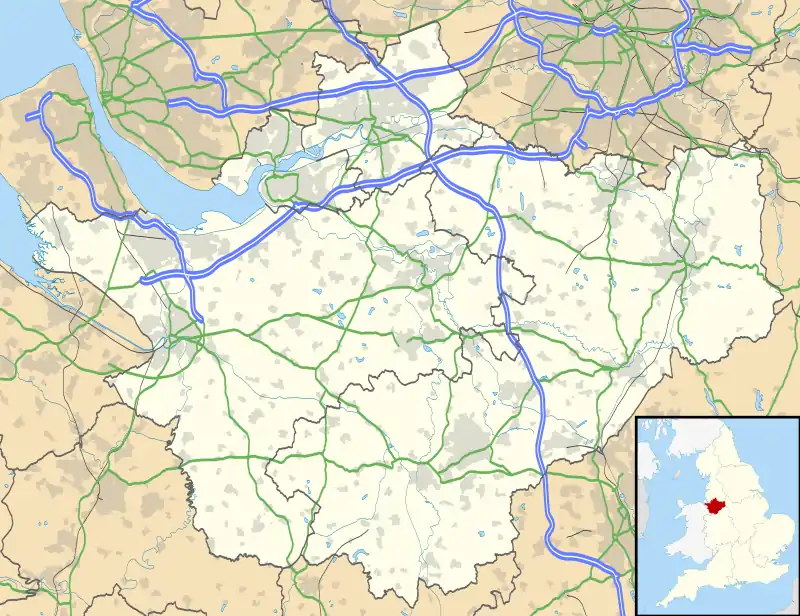 Moblake Location within Cheshire | |
| OS grid reference | SJ670430 |
| Civil parish | |
| Unitary authority | |
| Ceremonial county | |
| Region | |
| Country | England |
| Sovereign state | United Kingdom |
| Post town | CREWE |
| Postcode district | CW3 |
| Dialling code | 01270 |
| Police | Cheshire |
| Fire | Cheshire |
| Ambulance | North West |
| UK Parliament | |
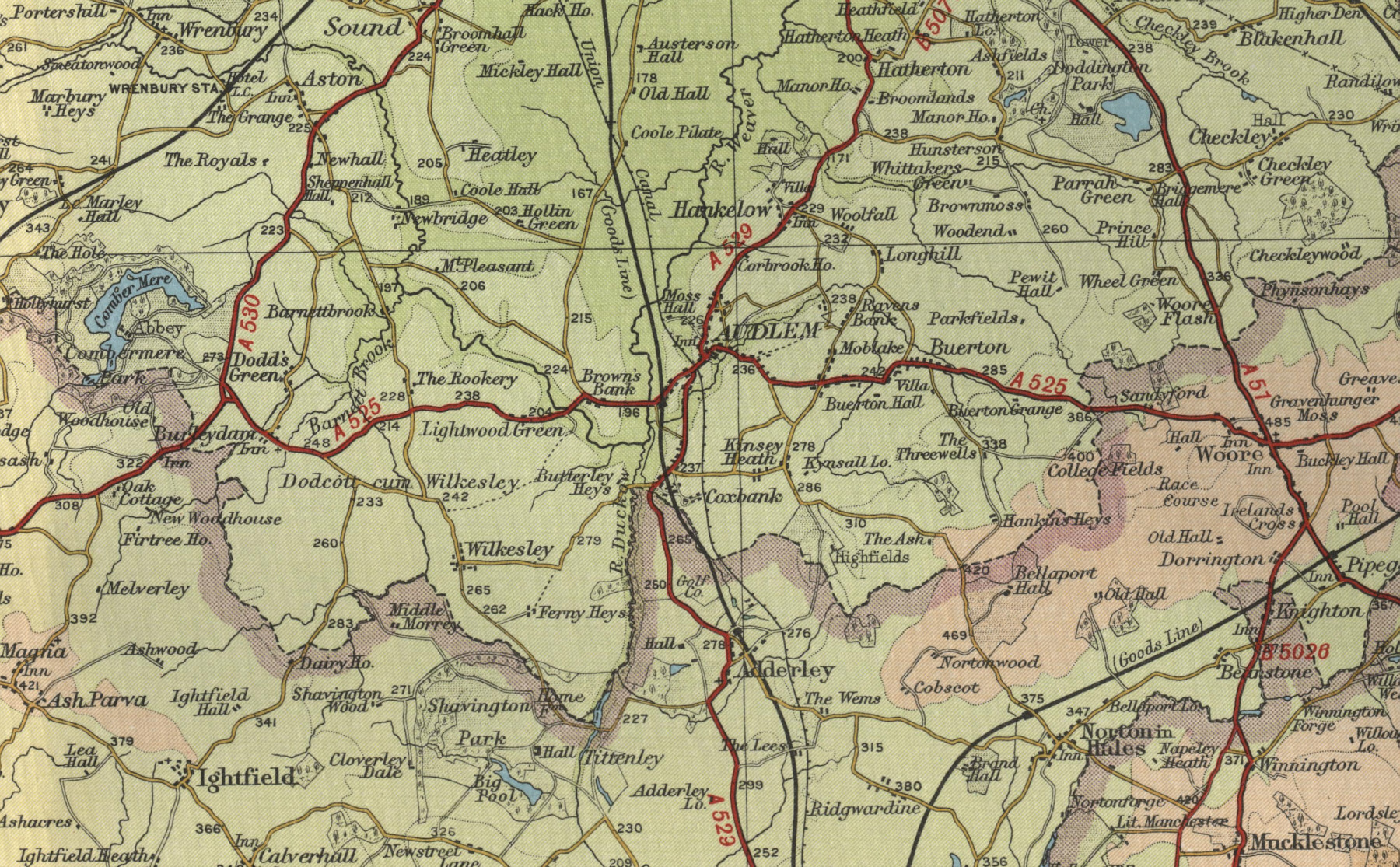
Moblake is a hamlet in Cheshire, England. It is situated on Longhill Lane, approximately 2 miles (3.2 km) east of the village of Audlem,[1] just inside the boundary of the parish of Buerton, Cheshire East.
References
- ↑ "Photographic image of map including Moblake" (JPG). Oldemaps.co.uk. Retrieved 24 November 2016.
This article is issued from Wikipedia. The text is licensed under Creative Commons - Attribution - Sharealike. Additional terms may apply for the media files.