Mong Hpayak
ၸႄႈဝဵင်းမိူင်းၽျၢၵ်ႈ | |
|---|---|
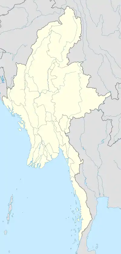
 Location in Tachileik district | |
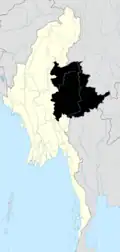
 Mong Hpayak Location in Burma | |
| Coordinates: 20°52′43″N 99°55′32″E / 20.87861°N 99.92556°E[1] | |
| Country | |
| Region | Shan State |
| District | Tachileik District |
| Population | |
| • Ethnicities | Shan |
| • Religions | Theravada Buddhism |
| Time zone | UTC+6.30 (MST) |
Monghpyak Township (Shan: ၸႄႈဝဵင်းမိူင်းၽျၢၵ်ႈ) is a township of Tachileik District (formerly part of Mong Hpayak District) in the Eastern Shan State of Myanmar. The principal town is Monghpyak. Its part under Shan State Special region 4 administration is known as Nanban District.[2]
References

This article is issued from Wikipedia. The text is licensed under Creative Commons - Attribution - Sharealike. Additional terms may apply for the media files.