Montague Gardens | |
|---|---|
 Montague Gardens 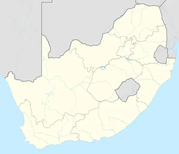 Montague Gardens | |
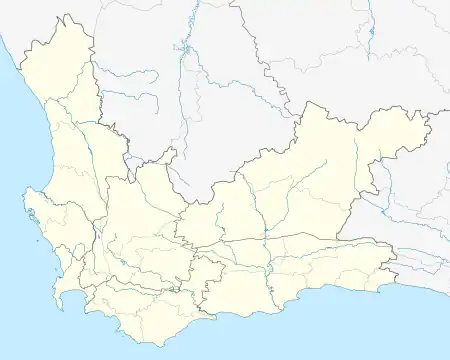
| Coordinates: 33°51′40″S 18°31′17″E / 33.8611°S 18.5214°E | |
| Country | South Africa |
| Province | Western Cape |
| Municipality | City of Cape Town |
| Area | |
| • Total | 4.23 km2 (1.63 sq mi) |
| Population (2011)[1] | |
| • Total | 22 |
| • Density | 5.2/km2 (13/sq mi) |
| Racial makeup (2011) | |
| • Black African | 81.82% |
| • Coloured | 13.64% |
| • Asian | 4.55% |
| First languages (2011) | |
| • Afrikaans | 18.18% |
| • English | 27.27% |
| • Xhosa | 27.27% |
| • Zulu | 22.73 |
| • Other | 4.55% |
| Time zone | UTC+2 (SAST) |
| Postal code (street) | 7441 |
| PO box | 7441 |
Montague Gardens is an industrial area in Cape Town with a population of only 22 residents.[1]
Neighbouring suburbs include Milnerton Ridge, Milnerton, Edgemead, Bothasig and Summer Greens.
References
This article is issued from Wikipedia. The text is licensed under Creative Commons - Attribution - Sharealike. Additional terms may apply for the media files.