Moose Lake 31A | |
|---|---|
 Moose Lake 31A | |
| Coordinates: 53°42′33″N 100°19′32″W / 53.70917°N 100.32556°W | |
| Country | |
| Province | |
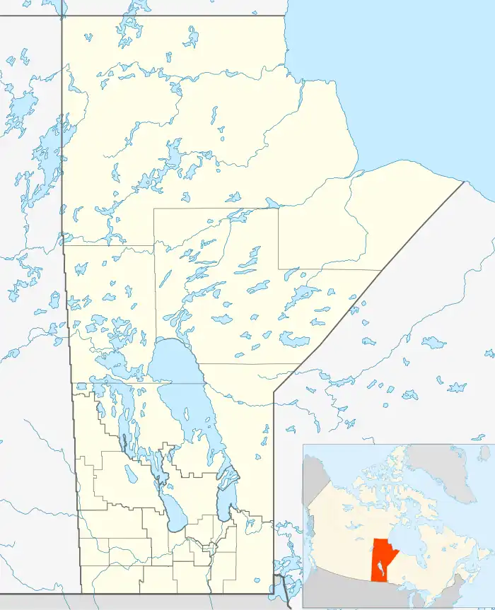
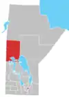
| Census division | No. 21 |
| Region | Northern |
| Area | |
| • Land | 3.36 km2 (1.30 sq mi) |
| Elevation | 260 m (840 ft) |
| Population (2016)[1] | |
| • Total | 1,124 |
| • Density | 334.9/km2 (867/sq mi) |
| Time zone | UTC−5 (CST) |
| • Summer (DST) | UTC−6 (CDT) |
| Mosakahiken Cree Nation | |
| Headquarters | Moose Lake, Manitoba |
| Land | |
| Main reserve | Moose Lake 31A |
| Other reserve(s) | Moose Lake 31C, 31D, 31G, and 31J
|
| Government | |
| Chief | Vincent Bercier |
| Tribal Council | |
| Swampy Cree Tribal Council[2] | |
The Mosakahiken Cree Nation (Cree: ᒨᓵᑲᐦᐃᑲᐣ môsâkahikan)[3] is a First Nations located around the community of Moose Lake in northern Manitoba.
Its main reserve is Moose Lake 31A; other reserve lands in its possession include: Moose Lake 31C, Moose Lake 31D, Moose Lake 31G, and Moose Lake 31J. They are members of the Swampy Cree Tribal Council.
References
- 1 2 "Census Profile, 2016 Census, Statistics Canada - Validation Error".
- ↑ "Mosakahiken Cree Nation | SCTC".
- ↑ Ogg, Arden (August 19 2015) Cree Names of Cree-speaking Communities across Canada Link
External links
| Cities |
|  |
|---|---|---|
| Towns | ||
| Rural municipalities | ||
| First Nations | ||
| Indian reserves | ||
| Unorganized areas | ||
| Unincorporated communities | ||
This article is issued from Wikipedia. The text is licensed under Creative Commons - Attribution - Sharealike. Additional terms may apply for the media files.