| Mont Jacques-Cartier | |
|---|---|
 Trail leading to the summit of the mountain. | |
| Highest point | |
| Elevation | 1,268 m (4,160 ft)[1] |
| Prominence | 1085 |
| Listing | |
| Coordinates | 48°59′26″N 65°56′33″W / 48.99056°N 65.94250°W[1] |
| Geography | |
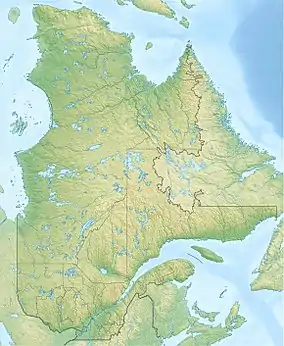 Mont Jacques-Cartier Location in Quebec | |
| Location | Mont-Albert, Quebec, Canada |
| Parent range | Chic-Choc Mountains |
| Topo map | NTS 22A13 Lac Madeleine |
| Climbing | |
| Easiest route | hiking |
Mount Jacques-Cartier (French: Mont Jacques-Cartier) is a mountain in the Chic-Choc Mountains range in eastern Quebec, Canada. At 1,268 m (4,160 ft), it is the tallest mountain in southern Quebec, and the highest mountain in the Canadian Appalachians.
Located in the Gaspé Peninsula, the mountain is protected within a Quebec provincial park called Gaspésie National Park, and is host to the last remaining population of woodland caribou south of the Saint Lawrence River. The summit can be accessed by a hiking trail.
References
- 1 2 "Mont Jacques-Cartier". Bivouac.com. Retrieved 2009-03-18.
This article is issued from Wikipedia. The text is licensed under Creative Commons - Attribution - Sharealike. Additional terms may apply for the media files.